Tateyama geodata
Tateyama (Chiba) is a seat of a second-order administrative division; located in Japan in Asia/Tokyo (GMT+9) time zone. With population of 50,064 people, there are 375 cities with bigger population in this country. Compared to other cities in Japan, 59.4% of cities are located further ↑North; 75.5% of cities are located further ←West and 81.8% of cities have higher elevation than Tateyama. Note1


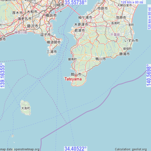
Tateyama GPS coordinates[2]
34° 58' 59.988" North, 139° 52' 0.012" East
| Map corner | latitude | longitude |
|---|---|---|
| Upper-left | 35.55738°, | 139.16355° |
| Center: | 34.98333°, | 139.86667° |
| Lower-right: | 34.40522°, | 140.5698° |
| Map W x H: | 128.1×128.1 km | = 79.6×79.6mi |
| max Lat: | 45.40944° ⇑59.4% North |
| Tateyama: | 34.98333° |
| min Lat: | ⇓40.6% South 24.34478° |
| min Long | Tateyama | max Long |
| 123° | 139.86667° | 145.575° |
| W 75.5%⇐ | ⇒24.5% E |
Elevation
Elevation of Tateyama is 7 m = 23 ft, and this is 77.6 m = 255 ft below average elevation for this country.
| Max E: |
1086 m = 3563 ft | 81.8% |
| Avg. | 84.6 m = 278 ft | |
| Tateyama | 7 m = 23 ft | |
Min E: |
-2 m = -7 ft | 18.2% |
See also: Tateyama elevation on elevation.city.
Geographical zone
Tateyama is located in North temperate zone (between Tropic of Cancer and the Arctic Circle). Distance of this Northern Tropic circle is 1283.9 km =797.8 mi to South.| Distance of | km | miles | from Tateyama |
|---|---|---|---|
| North Pole | 6117.3 | 3801.1 | to North |
| Arctic Circle | 3511.4 | 2181.9 | to North |
| Tropic Cancer | 1283.9 | 797.8 | to South |
| Equator | 3889.8 | 2417 | to South |


Nearby cities:
15 places around Tateyama: (largest is in red/bold)
• Fujisawa
54 km =33.6 mi,  318°
318°
• Futtsu
36.7 km =22.8 mi,  353°
353°
• Hayama
41.9 km =26 mi, 321°
• Kamakura
46.2 km =28.7 mi, 321°
• Kamogawa
24.7 km =15.3 mi,  59°
59°
• Katsuura
44.6 km =27.7 mi,  66°
66°
• Kimitsu
40.8 km =25.4 mi,  0°
0°
• Kisarazu
44.9 km =27.9 mi,  7°
7°
• Minamibōsō
7.6 km =4.7 mi,  45°
45°
• Miura
28.5 km =17.7 mi,  307°
307°
• Sodegaura
49.9 km =31 mi,  16°
16°
• Yokohama
53.8 km =33.4 mi,  338°
338°
• Yokosuka
38 km =23.6 mi,  331°
331°
• Zushi
43.5 km =27 mi, 322°
• Ōshima
52.9 km =32.9 mi,  240°
240°
Sources, notices
• [Note1] Compared only with cities in Japan existing in our database
• [Src1] Map data: © OpenStreetMap contributors (CC-BY-SA)
• [Src2] Other city data from geonames.org with taken over terms of usage.
• [Src3] Geographical zone / Annual Mean Temperature by Robert A. Rohde @ Wikipedia
