Nagata geodata
Nagata (Kagoshima) is a populated place; located in Japan in Asia/Tokyo (GMT+9) time zone. With population of 1,192 people, there are 764 cities with bigger population in this country. Compared to other cities in Japan, 97.7% of cities are located further ↑North; 93.7% of cities are located further →East and 89.6% of cities have higher elevation than Nagata. Note1


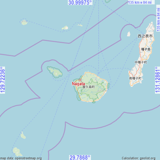
Nagata GPS coordinates[2]
30° 23' 42.576" North, 130° 25' 31.728" East
| Map corner | latitude | longitude |
|---|---|---|
| Upper-left | 30.99975°, | 129.72236° |
| Center: | 30.39516°, | 130.42548° |
| Lower-right: | 29.7868°, | 131.12861° |
| Map W x H: | 134.9×134.9 km | = 83.8×83.8mi |
| max Lat: | 45.40944° ⇑97.7% North |
| Nagata: | 30.39516° |
| min Lat: | ⇓2.3% South 24.34478° |
| min Long | Nagata | max Long |
| 123° | 130.42548° | 145.575° |
| W 6.3%⇐ | ⇒93.7% E |
Elevation
Elevation of Nagata is 5 m = 16 ft, and this is 79.6 m = 261 ft below average elevation for this country.
| Max E: |
1086 m = 3563 ft | 89.6% |
| Avg. | 84.6 m = 278 ft | |
| Nagata | 5 m = 16 ft | |
Min E: |
-2 m = -7 ft | 10.4% |
See also: Japan elevation on elevation.city.
Geographical zone
Nagata is located in North temperate zone (between Tropic of Cancer and the Arctic Circle). Distance of this Northern Tropic circle is 773.7 km =480.8 mi to South.| Distance of | km | miles | from Nagata |
|---|---|---|---|
| North Pole | 6627.4 | 4118.1 | to North |
| Arctic Circle | 4021.5 | 2498.8 | to North |
| Tropic Cancer | 773.7 | 480.8 | to South |
| Equator | 3379.6 | 2100 | to South |


Nearby cities:
15 places around Nagata: (largest is in red/bold)
• Hioki
132.3 km =82.2 mi,  356°
356°
• Ibusuki
95.6 km =59.4 mi,  12°
12°
• Kagoshima
130.8 km =81.3 mi, 5°
• Kanoya
117.1 km =72.8 mi,  20°
20°
• Kaseda-shirakame
114.1 km =70.9 mi,  354°
354°
• Koseda
21.5 km =13.4 mi,  92°
92°
• Koshima
20.7 km =12.9 mi,  149°
149°
• Kurio
13.8 km =8.6 mi,  180°
180°
• Makurazaki
97.5 km =60.6 mi, 353°
• Minamikyushu
105.9 km =65.8 mi,  1°
1°
• Minamisatsuma
111.4 km =69.2 mi, 353°
• Miyanoura
14.4 km =8.9 mi,  75°
75°
• Nishinoomote
66.6 km =41.4 mi,  55°
55°
• Tarumizu
123.8 km =76.9 mi, 12°
• Yudomari
18.6 km =11.6 mi,  163°
163°
Sources, notices
• [Note1] Compared only with cities in Japan existing in our database
• [Src1] Map data: © OpenStreetMap contributors (CC-BY-SA)
• [Src2] Other city data from geonames.org with taken over terms of usage.
• [Src3] Geographical zone / Annual Mean Temperature by Robert A. Rohde @ Wikipedia
