Yamagata geodata
Yamagata (Gifu) is a seat of a second-order administrative division; located in Japan in Asia/Tokyo (GMT+9) time zone. In our database, there are 767 cities with bigger population. Compared to other cities in Japan, 54.9% of cities are located further ↓South; 55.5% of cities are located further →East and 87.4% of cities have lower elevation than Yamagata. Note1


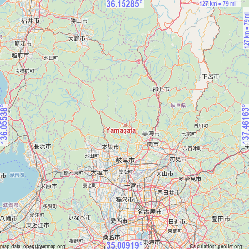
Yamagata GPS coordinates[2]
35° 34' 59.016" North, 136° 45' 30.6" East
| Map corner | latitude | longitude |
|---|---|---|
| Upper-left | 36.15285°, | 136.05538° |
| Center: | 35.58306°, | 136.7585° |
| Lower-right: | 35.00919°, | 137.46163° |
| Map W x H: | 127.2×127.2 km | = 79×79mi |
| max Lat: | 45.40944° ⇑45.1% North |
| Yamagata: | 35.58306° |
| min Lat: | ⇓54.9% South 24.34478° |
| min Long | Yamagata | max Long |
| 123° | 136.7585° | 145.575° |
| W 44.5%⇐ | ⇒55.5% E |
Elevation
Elevation of Yamagata is 193 m = 633 ft, and this is 108.4 m = 356 ft above average elevation for this country.
| Max E: |
1086 m = 3563 ft | 12.6% |
| Yamagata | 193 m 633 ft | |
| Avg. | 84.6 m = 278 ft | |
Min E: |
-2 m = -7 ft | 87.4% |
See also: Japan elevation on elevation.city.
Geographical zone
Yamagata is located in North temperate zone (between Tropic of Cancer and the Arctic Circle). Distance of this Northern Tropic circle is 1350.5 km =839.2 mi to South.| Distance of | km | miles | from Yamagata |
|---|---|---|---|
| North Pole | 6050.6 | 3759.7 | to North |
| Arctic Circle | 3444.7 | 2140.4 | to North |
| Tropic Cancer | 1350.5 | 839.2 | to South |
| Equator | 3956.5 | 2458.5 | to South |


Nearby cities:
15 places around Yamagata: (largest is in red/bold)
• Gifu-shi
17.8 km =11.1 mi,  179°
179°
• Gujō
24.9 km =15.5 mi,  46°
46°
• Gōdo
23.4 km =14.5 mi,  217°
217°
• Hashima
29.1 km =18.1 mi,  194°
194°
• Inuyama
28.1 km =17.5 mi,  143°
143°
• Kakamigahara
20.9 km =13 mi,  152°
152°
• Kasamatsuchō
24.1 km =15 mi, 178°
• Kuroda
26 km =16.2 mi, 175°
• Mino
15.3 km =9.5 mi,  111°
111°
• Minokamo
26.3 km =16.3 mi,  115°
115°
• Mizuho
22.5 km =14 mi,  201°
201°
• Motosu
13.4 km =8.3 mi,  214°
214°
• Motosu
15.6 km =9.7 mi,  300°
300°
• Sekimachi
18.1 km =11.2 mi,  127°
127°
• Ōgaki
28.9 km =18 mi, 206°
Sources, notices
• [Note1] Compared only with cities in Japan existing in our database
• [Src1] Map data: © OpenStreetMap contributors (CC-BY-SA)
• [Src2] Other city data from geonames.org with taken over terms of usage.
• [Src3] Geographical zone / Annual Mean Temperature by Robert A. Rohde @ Wikipedia
