Chezani geodata
Chezani (Grande Comore) is a populated place; located in Comoros in Indian/Comoro (GMT+3) time zone. With population of 2,322 people, there are 41 cities with bigger population in this country. Compared to other cities in Comoros, 93.8% of cities are located further ↓South; 59.3% of cities are located further →East and 62.8% of cities have lower elevation than Chezani. Note1


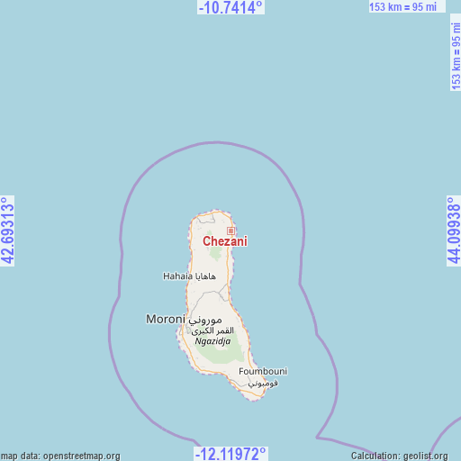
Chezani GPS coordinates[2]
11° 25' 53.04" South, 43° 23' 46.5" East
| Map corner | latitude | longitude |
|---|---|---|
| Upper-left | -10.7414°, | 42.69313° |
| Center: | -11.4314°, | 43.39625° |
| Lower-right: | -12.11972°, | 44.09938° |
| Map W x H: | 153.3×153.3 km | = 95.3×95.3mi |
| max Lat: | -11.38472° ⇑6.2% North |
| Chezani: | -11.4314° |
| min Lat: | ⇓93.8% South -12.37306° |
| min Long | Chezani | max Long |
| 43.2525° | 43.39625° | 44.53194° |
| W 40.7%⇐ | ⇒59.3% E |
Elevation
Elevation of Chezani is 182 m = 597 ft, and this is 14.1 m = 46 ft below average elevation for this country.
| Max E: |
924 m = 3031 ft | 37.2% |
| Avg. | 196.1 m = 643 ft | |
| Chezani | 182 m = 597 ft | |
Min E: |
1 m = 3 ft | 62.8% |
See also: Comoros elevation on elevation.city.
Geographical zone
Chezani is located in South Torrid zone (between Equator and Tropic of Capricorn). Distance of Equator is 1271.1 km =789.8 mi to North.| Distance of | km | miles | from Chezani |
|---|---|---|---|
| Equator | 1271.1 | 789.8 | to North |
| Tropic Capricorn | 1334.9 | 829.5 | to South |
| Antarctic Circle | 6130.1 | 3809.1 | to South |
| South Pole | 8736 | 5428.3 | to South |


Nearby cities:
15 places around Chezani: (largest is in red/bold)
• Bambadjani
5.6 km =3.5 mi,  201°
201°
• Batou
8.6 km =5.3 mi,  209°
209°
• Bouni
6.2 km =3.9 mi,  187°
187°
• Douniani
11.8 km =7.3 mi,  275°
275°
• Hantsindzi
1.6 km =1 mi,  91°
91°
• Héroumbili
12.6 km =7.8 mi, 188°
• Itsandzéni
4.8 km =3 mi, 195°
• Ivouani
4.4 km =2.7 mi,  357°
357°
• Koua
13.1 km =8.1 mi, 275°
• Mandza
11.1 km =6.9 mi, 277°
• Mbéni
8 km =5 mi, 194°
• Mnoungou
9.9 km =6.2 mi, 194°
• Ouellah
8.4 km =5.2 mi,  303°
303°
• Ouhozi
12.8 km =8 mi, 283°
• Sada-Chihoué
9 km =5.6 mi, 194°
Sources, notices
• [Note1] Compared only with cities in Comoros existing in our database
• [Src1] Map data: © OpenStreetMap contributors (CC-BY-SA)
• [Src2] Other city data from geonames.org with taken over terms of usage.
• [Src3] Geographical zone / Annual Mean Temperature by Robert A. Rohde @ Wikipedia
