Jeongeup geodata
Jeongeup (Jeollabuk-do) is a populated place; located in South Korea in Asia/Seoul (GMT+9) time zone. With population of 139,876 people, there are 42 cities with bigger population in this country. Compared to other cities in South Korea, 58% of cities are located further ↑North; 70.6% of cities are located further →East and 59.1% of cities have lower elevation than Jeongeup. Note1


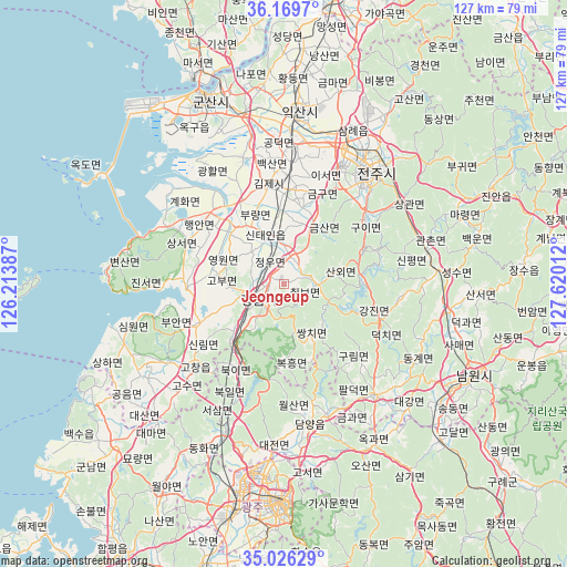
Jeongeup GPS coordinates[2]
35° 36' 0.144" North, 126° 55' 1.164" East
| Map corner | latitude | longitude |
|---|---|---|
| Upper-left | 36.1697°, | 126.21387° |
| Center: | 35.60004°, | 126.91699° |
| Lower-right: | 35.02629°, | 127.62012° |
| Map W x H: | 127.1×127.1 km | = 79×79mi |
| max Lat: | 38.37881° ⇑58% North |
| Jeongeup: | 35.60004° |
| min Lat: | ⇓42% South 33.25333° |
| min Long | Jeongeup | max Long |
| 126.10863° | 126.91699° | 129.55377° |
| W 29.4%⇐ | ⇒70.6% E |
Elevation
Elevation of Jeongeup is 53 m = 174 ft, and this is 17.4 m = 57 ft below average elevation for this country.
| Max E: |
691 m = 2267 ft | 40.9% |
| Avg. | 70.4 m = 231 ft | |
| Jeongeup | 53 m = 174 ft | |
Min E: |
1 m = 3 ft | 59.1% |
See also: Jeongeup elevation on elevation.city.
Geographical zone
Jeongeup is located in North temperate zone (between Tropic of Cancer and the Arctic Circle). Distance of this Northern Tropic circle is 1352.4 km =840.3 mi to South.| Distance of | km | miles | from Jeongeup |
|---|---|---|---|
| North Pole | 6048.7 | 3758.5 | to North |
| Arctic Circle | 3442.8 | 2139.3 | to North |
| Tropic Cancer | 1352.4 | 840.3 | to South |
| Equator | 3958.4 | 2459.6 | to South |


Nearby cities:
15 places around Jeongeup: (largest is in red/bold)
• Chilbo
6.9 km =4.3 mi,  87°
87°
• Damyang
31.8 km =19.8 mi,  169°
169°
• Gangjin
23.6 km =14.7 mi,  109°
109°
• Gurim
23.4 km =14.5 mi,  134°
134°
• Gwanchon
33 km =20.5 mi,  75°
75°
• Imsil
32.8 km =20.4 mi, 87°
• Ingye
29.1 km =18.1 mi,  135°
135°
• Jeonju
32.4 km =20.1 mi,  40°
40°
• Kimje
22.6 km =14 mi,  353°
353°
• Koch'ang
27 km =16.8 mi,  226°
226°
• Puan
22 km =13.7 mi,  310°
310°
• Sannae
10.8 km =6.7 mi, 109°
• Simwon
34.1 km =21.2 mi,  255°
255°
• Ssangchi
13.4 km =8.3 mi, 144°
• Wanju
34.3 km =21.3 mi, 37°
Sources, notices
• [Note1] Compared only with cities in South Korea existing in our database
• [Src1] Map data: © OpenStreetMap contributors (CC-BY-SA)
• [Src2] Other city data from geonames.org with taken over terms of usage.
• [Src3] Geographical zone / Annual Mean Temperature by Robert A. Rohde @ Wikipedia
