Ropaži geodata
Ropaži (Ropažu) is a seat of a first-order administrative division; located in Latvia in Europe/Riga (GMT+3) time zone. In our database, there are 110 cities with bigger population. Compared to other cities in Latvia, 56.4% of cities are located further ↓South; 50.7% of cities are located further →East and 64.3% of cities have higher elevation than Ropaži. Note1


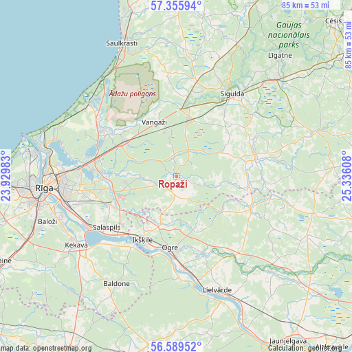
Ropaži GPS coordinates[2]
56° 58' 28.92" North, 24° 37' 58.62" East
| Map corner | latitude | longitude |
|---|---|---|
| Upper-left | 57.35594°, | 23.92983° |
| Center: | 56.9747°, | 24.63295° |
| Lower-right: | 56.58952°, | 25.33608° |
| Map W x H: | 85.2×85.2 km | = 52.9×52.9mi |
| max Lat: | 57.89752° ⇑43.6% North |
| Ropaži: | 56.9747° |
| min Lat: | ⇓56.4% South 55.75284° |
| min Long | Ropaži | max Long |
| 21.01085° | 24.63295° | 28.12165° |
| W 49.3%⇐ | ⇒50.7% E |
Elevation
Elevation of Ropaži is 43 m = 141 ft, and this is 22.4 m = 73 ft below average elevation for this country.
| Max E: |
212 m = 696 ft | 64.3% |
| Avg. | 65.4 m = 215 ft | |
| Ropaži | 43 m = 141 ft | |
Min E: |
2 m = 7 ft | 35.7% |
See also: Latvia elevation on elevation.city.
Geographical zone
Ropaži is located in North temperate zone (between Tropic of Cancer and the Arctic Circle). Distance of this North polar circle is 1066.2 km =662.5 mi to North.| Distance of | km | miles | from Ropaži |
|---|---|---|---|
| North Pole | 3672.1 | 2281.7 | to North |
| Arctic Circle | 1066.2 | 662.5 | to North |
| Tropic Cancer | 3729.1 | 2317.2 | to South |
| Equator | 6335 | 3936.4 | to South |


Nearby cities:
15 places around Ropaži: (largest is in red/bold)
• Berģi
20.3 km =12.6 mi,  273°
273°
• Carnikava
27.2 km =16.9 mi,  309°
309°
• Garkalne
15.1 km =9.4 mi,  301°
301°
• Ikšķile
17.7 km =11 mi,  207°
207°
• Inčukalns
14.2 km =8.8 mi,  13°
13°
• Loja
19.9 km =12.4 mi,  1°
1°
• Mālpils
20.1 km =12.5 mi,  78°
78°
• Ogre
17.7 km =11 mi,  183°
183°
• Ragana
23.3 km =14.5 mi, 11°
• Salaspils
20.6 km =12.8 mi,  231°
231°
• Sigulda
24.2 km =15 mi,  34°
34°
• Ulbroka
20.4 km =12.7 mi,  257°
257°
• Vangaži
14.3 km =8.9 mi,  337°
337°
• Ādaži
20.8 km =12.9 mi, 300°
• Ķegums
26.1 km =16.2 mi,  167°
167°
Sources, notices
• [Note1] Compared only with cities in Latvia existing in our database
• [Src1] Map data: © OpenStreetMap contributors (CC-BY-SA)
• [Src2] Other city data from geonames.org with taken over terms of usage.
• [Src3] Geographical zone / Annual Mean Temperature by Robert A. Rohde @ Wikipedia
