Ongon geodata
Ongon (Övörhangay) is a seat of a second-order administrative division; located in Mongolia in Asia/Ulaanbaatar (GMT+8) time zone. In our database, there are 33 cities with bigger population. Compared to other cities in Mongolia, 61.3% of cities are located further ↑North; 56.1% of cities are located further ←West and 62% of cities have lower elevation than Ongon. Note1


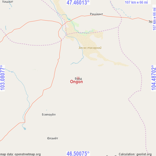
Ongon GPS coordinates[2]
46° 58' 57.324" North, 103° 47' 2.004" East
| Map corner | latitude | longitude |
|---|---|---|
| Upper-left | 47.46013°, | 103.08077° |
| Center: | 46.98259°, | 103.78389° |
| Lower-right: | 46.50075°, | 104.48702° |
| Map W x H: | 106.7×106.7 km | = 66.3×66.3mi |
| max Lat: | 51.50725° ⇑61.3% North |
| Ongon: | 46.98259° |
| min Lat: | ⇓38.7% South 42.84199° |
| min Long | Ongon | max Long |
| 89.14358° | 103.78389° | 118.51014° |
| W 56.1%⇐ | ⇒43.9% E |
Elevation
Elevation of Ongon is 1491 m = 4892 ft, and this is 74.5 m = 244 ft above average elevation for this country.
| Max E: |
2800 m = 9186 ft | 38% |
| Ongon | 1491 m 4892 ft | |
| Avg. | 1416.5 m = 4647 ft | |
Min E: |
619 m = 2031 ft | 62% |
See also: Mongolia elevation on elevation.city.
Geographical zone
Ongon is located in North temperate zone (between Tropic of Cancer and the Arctic Circle). Distance of this North polar circle is 2177.2 km =1352.8 mi to North.| Distance of | km | miles | from Ongon |
|---|---|---|---|
| North Pole | 4783.1 | 2972.1 | to North |
| Arctic Circle | 2177.2 | 1352.8 | to North |
| Tropic Cancer | 2618.1 | 1626.8 | to South |
| Equator | 5224 | 3246 | to South |


Nearby cities:
15 places around Ongon: (largest is in red/bold)
• Avdzaga
75.1 km =46.7 mi,  344°
344°
• Bayan
70.7 km =43.9 mi,  317°
317°
• Bayantöhöm
96.4 km =59.9 mi,  94°
94°
• Bayshint
91.7 km =57 mi,  58°
58°
• Bumbat
59.7 km =37.1 mi,  154°
154°
• Dashinchilling
98.5 km =61.2 mi,  11°
11°
• Harhorin
76.5 km =47.5 mi,  288°
288°
• Hujirt
74.3 km =46.2 mi,  124°
124°
• Kharkhorin
77.1 km =47.9 mi, 287°
• Khujirt
77.6 km =48.2 mi,  262°
262°
• Mayhan
99.2 km =61.6 mi,  177°
177°
• Mönhbulag
32.9 km =20.4 mi,  218°
218°
• Sangiyn Dalay
51.3 km =31.9 mi, 223°
• Ulaanhudag
66.7 km =41.4 mi,  54°
54°
• Ulaanshiveet
34.6 km =21.5 mi, 9°
Sources, notices
• [Note1] Compared only with cities in Mongolia existing in our database
• [Src1] Map data: © OpenStreetMap contributors (CC-BY-SA)
• [Src2] Other city data from geonames.org with taken over terms of usage.
• [Src3] Geographical zone / Annual Mean Temperature by Robert A. Rohde @ Wikipedia
