Bayanbaraat geodata
Bayanbaraat (Central Aimak) is a seat of a second-order administrative division; located in Mongolia in Asia/Ulaanbaatar (GMT+8) time zone. In our database, there are 33 cities with bigger population. Compared to other cities in Mongolia, 64.7% of cities are located further ↑North; 72.4% of cities are located further ←West and 62.3% of cities have lower elevation than Bayanbaraat. Note1


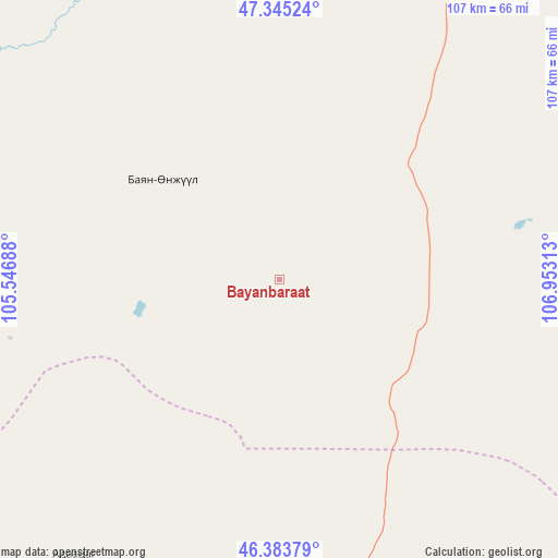
Bayanbaraat GPS coordinates[2]
46° 52' 0.012" North, 106° 15' 0" East
| Map corner | latitude | longitude |
|---|---|---|
| Upper-left | 47.34524°, | 105.54688° |
| Center: | 46.86667°, | 106.25° |
| Lower-right: | 46.38379°, | 106.95313° |
| Map W x H: | 106.9×106.9 km | = 66.4×66.4mi |
| max Lat: | 51.50725° ⇑64.7% North |
| Bayanbaraat: | 46.86667° |
| min Lat: | ⇓35.3% South 42.84199° |
| min Long | Bayanbaraat | max Long |
| 89.14358° | 106.25° | 118.51014° |
| W 72.4%⇐ | ⇒27.6% E |
Elevation
Elevation of Bayanbaraat is 1501 m = 4925 ft, and this is 84.5 m = 277 ft above average elevation for this country.
| Max E: |
2800 m = 9186 ft | 37.7% |
| Bayanbaraat | 1501 m 4925 ft | |
| Avg. | 1416.5 m = 4647 ft | |
Min E: |
619 m = 2031 ft | 62.3% |
See also: Mongolia elevation on elevation.city.
Geographical zone
Bayanbaraat is located in North temperate zone (between Tropic of Cancer and the Arctic Circle). Distance of this North polar circle is 2190.1 km =1360.9 mi to North.| Distance of | km | miles | from Bayanbaraat |
|---|---|---|---|
| North Pole | 4796 | 2980.1 | to North |
| Arctic Circle | 2190.1 | 1360.9 | to North |
| Tropic Cancer | 2605.2 | 1618.8 | to South |
| Equator | 5211.1 | 3238 | to South |


Nearby cities:
15 places around Bayanbaraat: (largest is in red/bold)
• Altanbulag
93.3 km =58 mi,  6°
6°
• Amardalay
82.9 km =51.5 mi,  173°
173°
• Argalant
122.5 km =76.1 mi,  347°
347°
• Bayantöhöm
91.4 km =56.8 mi,  273°
273°
• Bayshint
124.5 km =77.4 mi,  299°
299°
• Dzogsool
68.9 km =42.8 mi,  96°
96°
• Dzuunmod
107.4 km =66.7 mi,  29°
29°
• Haraat
118 km =73.3 mi,  115°
115°
• Höshigiyn-Ar
93.8 km =58.3 mi,  35°
35°
• Maanĭt
106.1 km =65.9 mi,  66°
66°
• Mandalgovi
122.8 km =76.3 mi,  179°
179°
• Tavin
65.8 km =40.9 mi,  216°
216°
• Tsant
83.9 km =52.1 mi,  154°
154°
• Ulan Bator
125.2 km =77.8 mi,  22°
22°
• Зуунмод
107.4 km =66.7 mi, 29°
Sources, notices
• [Note1] Compared only with cities in Mongolia existing in our database
• [Src1] Map data: © OpenStreetMap contributors (CC-BY-SA)
• [Src2] Other city data from geonames.org with taken over terms of usage.
• [Src3] Geographical zone / Annual Mean Temperature by Robert A. Rohde @ Wikipedia
