Kiffa geodata
Kiffa (Assaba) is a seat of a first-order administrative division; located in Mauritania in Africa/Nouakchott (GMT+0) time zone. With population of 40,281 people, there are 5 cities with bigger population in this country. Compared to other cities in Mauritania, 73.7% of cities are located further ↑North; 89.5% of cities are located further ←West and 68.4% of cities have lower elevation than Kiffa. Note1


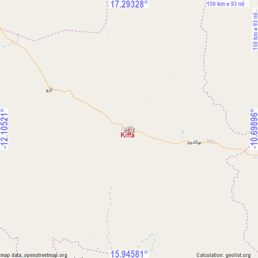
Kiffa GPS coordinates[2]
16° 37' 14.628" North, 11° 24' 7.488" West
| Map corner | latitude | longitude |
|---|---|---|
| Upper-left | 17.29328°, | -12.10521° |
| Center: | 16.62073°, | -11.40208° |
| Lower-right: | 15.94581°, | -10.69896° |
| Map W x H: | 149.8×149.8 km | = 93.1×93.1mi |
| max Lat: | 22.73542° ⇑73.7% North |
| Kiffa: | 16.62073° |
| min Lat: | ⇓26.3% South 15.15846° |
| min Long | Kiffa | max Long |
| -17.03842° | -11.40208° | -7.25649° |
| W 89.5%⇐ | ⇒10.5% E |
Elevation
Elevation of Kiffa is 127 m = 417 ft, and this is 0.90000000000001 m = 3 ft above average elevation for this country.
| Max E: |
500 m = 1640 ft | 31.6% |
| Kiffa | 127 m 417 ft | |
| Avg. | 126.1 m = 414 ft | |
Min E: |
1 m = 3 ft | 68.4% |
See also: Kiffa elevation on elevation.city.
Geographical zone
Kiffa is located in North Torrid zone (between Equator and Tropic of Cancer). Distance of this Northern Tropic circle is 757.9 km =470.9 mi to North.| Distance of | km | miles | from Kiffa |
|---|---|---|---|
| North Pole | 8159 | 5069.8 | to North |
| Arctic Circle | 5553.1 | 3450.5 | to North |
| Tropic Cancer | 757.9 | 470.9 | to North |
| Equator | 1848.1 | 1148.4 | to South |


Nearby cities:
9 places around Kiffa: (largest is in red/bold)
• Aioun
190.4 km =118.3 mi,  88°
88°
• Aleg
271.5 km =168.7 mi,  280°
280°
• Barkéwol
116.8 km =72.6 mi,  271°
271°
• Chingueṭṭi
439 km =272.8 mi,  346°
346°
• Kaédi
230.2 km =143 mi,  256°
256°
• Sélibaby
182.8 km =113.6 mi,  207°
207°
• Tidjikja
215.2 km =133.7 mi,  359°
359°
• Tékane
420.5 km =261.3 mi, 269°
• ’Elb el Jmel
276.8 km =172 mi, 279°
Sources, notices
• [Note1] Compared only with cities in Mauritania existing in our database
• [Src1] Map data: © OpenStreetMap contributors (CC-BY-SA)
• [Src2] Other city data from geonames.org with taken over terms of usage.
• [Src3] Geographical zone / Annual Mean Temperature by Robert A. Rohde @ Wikipedia
