Kaédi geodata
Kaédi (Gorgol) is a seat of a first-order administrative division; located in Mauritania in Africa/Nouakchott (GMT+0) time zone. With population of 55,374 people, there are 3 cities with bigger population in this country. Compared to other cities in Mauritania, 94.7% of cities are located further ↑North; 52.6% of cities are located further ←West and 63.2% of cities have higher elevation than Kaédi. Note1


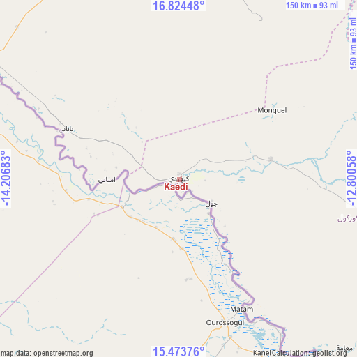
Kaédi GPS coordinates[2]
16° 9' 0.972" North, 13° 30' 13.32" West
| Map corner | latitude | longitude |
|---|---|---|
| Upper-left | 16.82448°, | -14.20683° |
| Center: | 16.15027°, | -13.5037° |
| Lower-right: | 15.47376°, | -12.80058° |
| Map W x H: | 150.2×150.2 km | = 93.3×93.3mi |
| max Lat: | 22.73542° ⇑94.7% North |
| Kaédi: | 16.15027° |
| min Lat: | ⇓5.3% South 15.15846° |
| min Long | Kaédi | max Long |
| -17.03842° | -13.5037° | -7.25649° |
| W 52.6%⇐ | ⇒47.4% E |
Elevation
Elevation of Kaédi is 25 m = 82 ft, and this is 101.1 m = 332 ft below average elevation for this country.
| Max E: |
500 m = 1640 ft | 63.2% |
| Avg. | 126.1 m = 414 ft | |
| Kaédi | 25 m = 82 ft | |
Min E: |
1 m = 3 ft | 36.8% |
See also: Kaédi elevation on elevation.city.
Geographical zone
Kaédi is located in North Torrid zone (between Equator and Tropic of Cancer). Distance of this Northern Tropic circle is 810.2 km =503.4 mi to North.| Distance of | km | miles | from Kaédi |
|---|---|---|---|
| North Pole | 8211.3 | 5102.3 | to North |
| Arctic Circle | 5605.4 | 3483 | to North |
| Tropic Cancer | 810.2 | 503.4 | to North |
| Equator | 1795.7 | 1115.8 | to South |


Nearby cities:
14 places around Kaédi: (largest is in red/bold)
• Aioun
418.7 km =260.2 mi,  82°
82°
• Akjoujt
410.6 km =255.1 mi,  346°
346°
• Aleg
109.5 km =68 mi,  336°
336°
• Arafat
336.5 km =209.1 mi,  308°
308°
• Barkéwol
120.3 km =74.8 mi,  63°
63°
• Dar Naim
337.1 km =209.5 mi, 310°
• Kiffa
230.2 km =143 mi, 76°
• Nouakchott
339.8 km =211.1 mi, 309°
• Rosso
248.9 km =154.7 mi,  279°
279°
• Sélibaby
179.2 km =111.3 mi,  127°
127°
• Tevragh Zeina
341.5 km =212.2 mi, 309°
• Tidjikja
346.6 km =215.4 mi,  39°
39°
• Tékane
203.1 km =126.2 mi, 284°
• ’Elb el Jmel
107.8 km =67 mi,  332°
332°
Sources, notices
• [Note1] Compared only with cities in Mauritania existing in our database
• [Src1] Map data: © OpenStreetMap contributors (CC-BY-SA)
• [Src2] Other city data from geonames.org with taken over terms of usage.
• [Src3] Geographical zone / Annual Mean Temperature by Robert A. Rohde @ Wikipedia
