Chingueṭṭi geodata
Chingueṭṭi (Adrar) is a populated place; located in Mauritania in Africa/Nouakchott (GMT+0) time zone. With population of 4,711 people, there are 14 cities with bigger population in this country. Compared to other cities in Mauritania, 84.2% of cities are located further ↓South; 73.7% of cities are located further ←West and 100% of cities have lower elevation than Chingueṭṭi. Note1


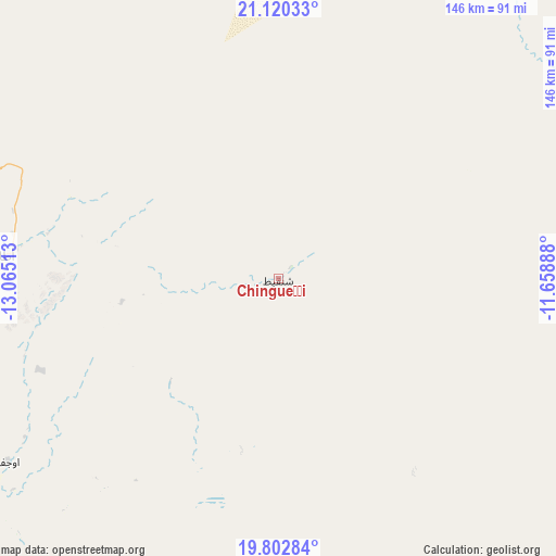
Chingueṭṭi GPS coordinates[2]
20° 27' 46.8" North, 12° 21' 43.2" West
| Map corner | latitude | longitude |
|---|---|---|
| Upper-left | 21.12033°, | -13.06513° |
| Center: | 20.463°, | -12.362° |
| Lower-right: | 19.80284°, | -11.65888° |
| Map W x H: | 146.5×146.5 km | = 91×91mi |
| max Lat: | 22.73542° ⇑15.8% North |
| Chingueṭṭi: | 20.463° |
| min Lat: | ⇓84.2% South 15.15846° |
| min Long | Chingueṭṭi | max Long |
| -17.03842° | -12.362° | -7.25649° |
| W 73.7%⇐ | ⇒26.3% E |
Elevation
Elevation of Chingueṭṭi is 500 m = 1640 ft, and this is 373.9 m = 1227 ft above average elevation for this country.
| Max E: |
500 m = 1640 ft | 0% |
| Chingueṭṭi | 500 m 1640 ft | |
| Avg. | 126.1 m = 414 ft | |
Min E: |
1 m = 3 ft | 100% |
See also: Mauritania elevation on elevation.city.
Geographical zone
Chingueṭṭi is located in North Torrid zone (between Equator and Tropic of Cancer). Distance of this Northern Tropic circle is 330.6 km =205.4 mi to North.| Distance of | km | miles | from Chingueṭṭi |
|---|---|---|---|
| North Pole | 7731.8 | 4804.3 | to North |
| Arctic Circle | 5125.9 | 3185.1 | to North |
| Tropic Cancer | 330.6 | 205.4 | to North |
| Equator | 2275.3 | 1413.8 | to South |


Nearby cities:
8 places around Chingueṭṭi: (largest is in red/bold)
• Akjoujt
225.8 km =140.3 mi,  249°
249°
• Aleg
412.8 km =256.5 mi,  203°
203°
• Atar
71.8 km =44.6 mi,  274°
274°
• Barkéwol
425.3 km =264.3 mi,  181°
181°
• Kiffa
439 km =272.8 mi,  166°
166°
• Tidjikja
233.5 km =145.1 mi,  155°
155°
• Zouerate
252.9 km =157.1 mi,  357°
357°
• ’Elb el Jmel
419.6 km =260.7 mi, 203°
Sources, notices
• [Note1] Compared only with cities in Mauritania existing in our database
• [Src1] Map data: © OpenStreetMap contributors (CC-BY-SA)
• [Src2] Other city data from geonames.org with taken over terms of usage.
• [Src3] Geographical zone / Annual Mean Temperature by Robert A. Rohde @ Wikipedia
