Mqabba geodata
Mqabba (L-Imqabba) is a seat of a first-order administrative division; located in Malta in Europe/Malta (GMT+2) time zone. With population of 2,891 people, there are 49 cities with bigger population in this country. Compared to other cities in Malta, 91.5% of cities are located further ↑North; 50.7% of cities are located further →East and 63.4% of cities have lower elevation than Mqabba. Note1


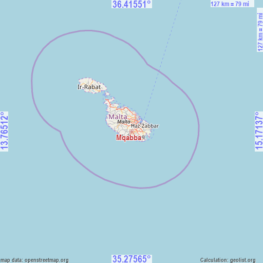
Mqabba GPS coordinates[2]
35° 50' 51.468" North, 14° 28' 5.664" East
| Map corner | latitude | longitude |
|---|---|---|
| Upper-left | 36.41551°, | 13.76512° |
| Center: | 35.84763°, | 14.46824° |
| Lower-right: | 35.27565°, | 15.17137° |
| Map W x H: | 126.7×126.7 km | = 78.7×78.7mi |
| max Lat: | 36.07222° ⇑91.5% North |
| Mqabba: | 35.84763° |
| min Lat: | ⇓8.5% South 35.82583° |
| min Long | Mqabba | max Long |
| 14.20361° | 14.46824° | 14.56701° |
| W 49.3%⇐ | ⇒50.7% E |
Elevation
Elevation of Mqabba is 95 m = 312 ft, and this is 16.9 m = 55 ft above average elevation for this country.
| Max E: |
231 m = 758 ft | 36.6% |
| Mqabba | 95 m 312 ft | |
| Avg. | 78.1 m = 256 ft | |
Min E: |
5 m = 16 ft | 63.4% |
See also: Malta elevation on elevation.city.
Geographical zone
Mqabba is located in North temperate zone (between Tropic of Cancer and the Arctic Circle). Distance of this Northern Tropic circle is 1380 km =857.5 mi to South.| Distance of | km | miles | from Mqabba |
|---|---|---|---|
| North Pole | 6021.2 | 3741.4 | to North |
| Arctic Circle | 3415.3 | 2122.2 | to North |
| Tropic Cancer | 1380 | 857.5 | to South |
| Equator | 3985.9 | 2476.7 | to South |


Nearby cities:
15 places around Mqabba: (largest is in red/bold)
• Gudja
3.1 km =1.9 mi,  86°
86°
• Għaxaq
4.4 km =2.7 mi, 88°
• Haz-Zebbug
3.6 km =2.2 mi,  317°
317°
• Kirkop
1.6 km =1 mi,  111°
111°
• Luqa
2.2 km =1.4 mi,  55°
55°
• Marsa
4.3 km =2.7 mi,  34°
34°
• Paola
4 km =2.5 mi,  44°
44°
• Qormi
3.2 km =2 mi,  6°
6°
• Qrendi
1.7 km =1.1 mi,  211°
211°
• Safi
2.2 km =1.4 mi,  137°
137°
• Santa Luċija
3.9 km =2.4 mi, 64°
• Siġġiewi
3 km =1.9 mi,  287°
287°
• Tarxien
4.7 km =2.9 mi, 64°
• Ħamrun
4.4 km =2.7 mi,  19°
19°
• Żurrieq
1.9 km =1.2 mi,  163°
163°
Sources, notices
• [Note1] Compared only with cities in Malta existing in our database
• [Src1] Map data: © OpenStreetMap contributors (CC-BY-SA)
• [Src2] Other city data from geonames.org with taken over terms of usage.
• [Src3] Geographical zone / Annual Mean Temperature by Robert A. Rohde @ Wikipedia
