Ħamrun geodata
Ħamrun (Il-Ħamrun) is a seat of a first-order administrative division; located in Malta in Europe/Malta (GMT+2) time zone. With population of 10,680 people, there are 10 cities with bigger population in this country. Compared to other cities in Malta, 67.6% of cities are located further ↑North; 62% of cities are located further ←West and 70.4% of cities have higher elevation than Ħamrun. Note1


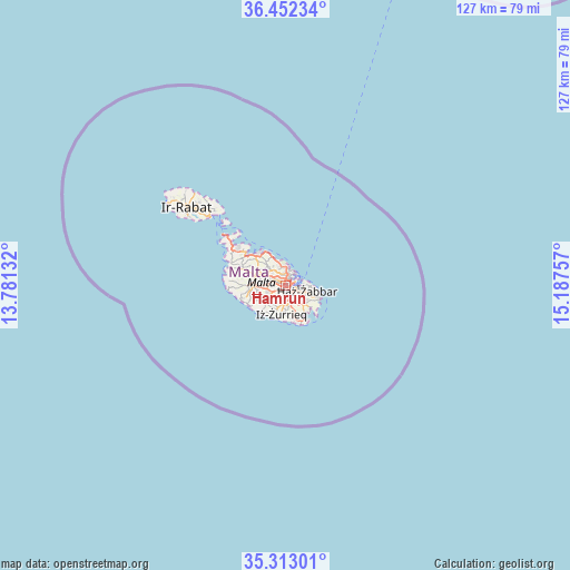
Ħamrun GPS coordinates[2]
35° 53' 4.992" North, 14° 29' 3.984" East
| Map corner | latitude | longitude |
|---|---|---|
| Upper-left | 36.45234°, | 13.78132° |
| Center: | 35.88472°, | 14.48444° |
| Lower-right: | 35.31301°, | 15.18757° |
| Map W x H: | 126.7×126.7 km | = 78.7×78.7mi |
| max Lat: | 36.07222° ⇑67.6% North |
| Ħamrun: | 35.88472° |
| min Lat: | ⇓32.4% South 35.82583° |
| min Long | Ħamrun | max Long |
| 14.20361° | 14.48444° | 14.56701° |
| W 62%⇐ | ⇒38% E |
Elevation
Elevation of Ħamrun is 44 m = 144 ft, and this is 34.1 m = 112 ft below average elevation for this country.
| Max E: |
231 m = 758 ft | 70.4% |
| Avg. | 78.1 m = 256 ft | |
| Ħamrun | 44 m = 144 ft | |
Min E: |
5 m = 16 ft | 29.6% |
See also: Malta elevation on elevation.city.
Geographical zone
Ħamrun is located in North temperate zone (between Tropic of Cancer and the Arctic Circle). Distance of this Northern Tropic circle is 1384.1 km =860 mi to South.| Distance of | km | miles | from Ħamrun |
|---|---|---|---|
| North Pole | 6017.1 | 3738.9 | to North |
| Arctic Circle | 3411.2 | 2119.6 | to North |
| Tropic Cancer | 1384.1 | 860 | to South |
| Equator | 3990 | 2479.3 | to South |


Nearby cities:
15 places around Ħamrun: (largest is in red/bold)
• Birkirkara
2.5 km =1.6 mi,  303°
303°
• Fgura
3.1 km =1.9 mi,  121°
121°
• Floriana
2.5 km =1.6 mi,  60°
60°
• Gżira
2.4 km =1.5 mi,  7°
7°
• Imsida
0.9 km =0.6 mi,  350°
350°
• Luqa
2.9 km =1.8 mi,  172°
172°
• Marsa
1.2 km =0.7 mi, 122°
• Paola
1.8 km =1.1 mi,  134°
134°
• Pietà
1.5 km =0.9 mi,  40°
40°
• Qormi
1.5 km =0.9 mi,  229°
229°
• Saint John
2.4 km =1.5 mi,  342°
342°
• Santa Venera
1.1 km =0.7 mi,  306°
306°
• Senglea
2.9 km =1.8 mi,  83°
83°
• Ta’ Xbiex
1.8 km =1.1 mi,  29°
29°
• Valletta
3.2 km =2 mi, 58°
Sources, notices
• [Note1] Compared only with cities in Malta existing in our database
• [Src1] Map data: © OpenStreetMap contributors (CC-BY-SA)
• [Src2] Other city data from geonames.org with taken over terms of usage.
• [Src3] Geographical zone / Annual Mean Temperature by Robert A. Rohde @ Wikipedia
