Tzoncolco geodata
Tzoncolco (Veracruz) is a populated place; located in Mexico in America/Mexico_City (GMT-6) time zone. With population of 642 people, there are 13481 cities with bigger population in this country. Compared to other cities in Mexico, 69.1% of cities are located further ↑North; 73.3% of cities are located further ←West and 58% of cities have lower elevation than Tzoncolco. Note1


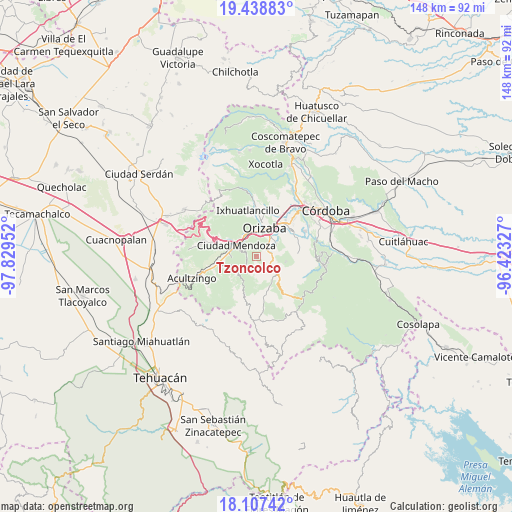
Tzoncolco GPS coordinates[2]
18° 46' 27.984" North, 97° 7' 35.004" West
| Map corner | latitude | longitude |
|---|---|---|
| Upper-left | 19.43883°, | -97.82952° |
| Center: | 18.77444°, | -97.12639° |
| Lower-right: | 18.10742°, | -96.42327° |
| Map W x H: | 148×148 km | = 92×92mi |
| max Lat: | 32.7° ⇑69.1% North |
| Tzoncolco: | 18.77444° |
| min Lat: | ⇓30.9% South 14.53588° |
| min Long | Tzoncolco | max Long |
| -117.105° | -97.12639° | -86.73105° |
| W 73.3%⇐ | ⇒26.7% E |
Elevation
Elevation of Tzoncolco is 1690 m = 5545 ft, and this is 436.3 m = 1431 ft above average elevation for this country.
| Max E: |
3497 m = 11473 ft | 42% |
| Tzoncolco | 1690 m 5545 ft | |
| Avg. | 1253.7 m = 4113 ft | |
Min E: |
-1 m = -3 ft | 58% |
See also: Mexico elevation on elevation.city.
Geographical zone
Tzoncolco is located in North Torrid zone (between Equator and Tropic of Cancer). Distance of this Northern Tropic circle is 518.4 km =322.1 mi to North.| Distance of | km | miles | from Tzoncolco |
|---|---|---|---|
| North Pole | 7919.5 | 4920.9 | to North |
| Arctic Circle | 5313.7 | 3301.8 | to North |
| Tropic Cancer | 518.4 | 322.1 | to North |
| Equator | 2087.5 | 1297.1 | to South |


Nearby cities:
15 places around Tzoncolco: (largest is in red/bold)
• Barrio de Tetzmola
2.8 km =1.7 mi,  259°
259°
• Donato Guerra
6.4 km =4 mi,  19°
19°
• Huiloapan de Cuauhtémoc
5.6 km =3.5 mi,  328°
328°
• La Cuesta
4.7 km =2.9 mi,  291°
291°
• Monterrey
4.3 km =2.7 mi,  209°
209°
• Necoxtla
2.9 km =1.8 mi,  279°
279°
• San Andrés Tenejapan
3.8 km =2.4 mi,  64°
64°
• San Cristóbal
6.2 km =3.9 mi,  2°
2°
• Soledad Atzompa
3.3 km =2.1 mi,  229°
229°
• Tlalpan
4.9 km =3 mi, 226°
• Tlatilpa
4.9 km =3 mi,  202°
202°
• Tlatzala
5.3 km =3.3 mi, 196°
• Tlilapan
4.5 km =2.8 mi,  40°
40°
• Tolapa
5.9 km =3.7 mi,  130°
130°
• Xonotla
4.3 km =2.7 mi,  217°
217°
Sources, notices
• [Note1] Compared only with cities in Mexico existing in our database
• [Src1] Map data: © OpenStreetMap contributors (CC-BY-SA)
• [Src2] Other city data from geonames.org with taken over terms of usage.
• [Src3] Geographical zone / Annual Mean Temperature by Robert A. Rohde @ Wikipedia
