San Juanito geodata
San Juanito (Tamaulipas) is a populated place; located in Mexico in America/Monterrey (GMT-6) time zone. With population of 512 people, there are 16417 cities with bigger population in this country. Compared to other cities in Mexico, 88.9% of cities are located further ↓South; 55.8% of cities are located further →East and 63.2% of cities have higher elevation than San Juanito. Note1


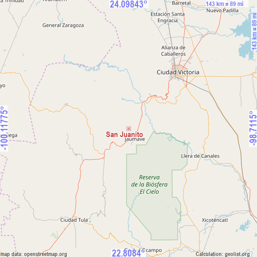
San Juanito GPS coordinates[2]
23° 27' 17.964" North, 99° 24' 52.632" West
| Map corner | latitude | longitude |
|---|---|---|
| Upper-left | 24.09843°, | -100.11775° |
| Center: | 23.45499°, | -99.41462° |
| Lower-right: | 22.8084°, | -98.7115° |
| Map W x H: | 143.4×143.4 km | = 89.1×89.1mi |
| max Lat: | 32.7° ⇑11.1% North |
| San Juanito: | 23.45499° |
| min Lat: | ⇓88.9% South 14.53588° |
| min Long | San Juanito | max Long |
| -117.105° | -99.41462° | -86.73105° |
| W 44.2%⇐ | ⇒55.8% E |
Elevation
Elevation of San Juanito is 806 m = 2644 ft, and this is 447.7 m = 1469 ft below average elevation for this country.
| Max E: |
3497 m = 11473 ft | 63.2% |
| Avg. | 1253.7 m = 4113 ft | |
| San Juanito | 806 m = 2644 ft | |
Min E: |
-1 m = -3 ft | 36.8% |
See also: Mexico elevation on elevation.city.
Geographical zone
San Juanito is located in North temperate zone (between Tropic of Cancer and the Arctic Circle). Distance of this Northern Tropic circle is 2 km =1.2 mi to South.| Distance of | km | miles | from San Juanito |
|---|---|---|---|
| North Pole | 7399.1 | 4597.6 | to North |
| Arctic Circle | 4793.2 | 2978.4 | to North |
| Tropic Cancer | 2 | 1.2 | to South |
| Equator | 2608 | 1620.5 | to South |


Nearby cities:
15 places around San Juanito: (largest is in red/bold)
• Bustamante
35.2 km =21.9 mi,  266°
266°
• Calabacillas
41.9 km =26 mi,  231°
231°
• Ciudad Victoria
42 km =26.1 mi,  40°
40°
• El Aguacate
38.3 km =23.8 mi,  248°
248°
• El Olmo (Rancho Nuevo del Castillo)
43.1 km =26.8 mi,  50°
50°
• Felipe Ángeles
35.5 km =22.1 mi,  258°
258°
• Francisco Medrano
14.8 km =9.2 mi,  20°
20°
• Jaumave
6.4 km =4 mi,  147°
147°
• Juamave
6.5 km =4 mi, 147°
• La Libertad
43.7 km =27.2 mi,  31°
31°
• La Peña
30.2 km =18.8 mi,  292°
292°
• Llera de Canales
42.5 km =26.4 mi,  111°
111°
• Miquihuana
37.2 km =23.1 mi, 291°
• Palmillas
21.8 km =13.5 mi,  218°
218°
• Álvaro Obregón
42.3 km =26.3 mi, 222°
Sources, notices
• [Note1] Compared only with cities in Mexico existing in our database
• [Src1] Map data: © OpenStreetMap contributors (CC-BY-SA)
• [Src2] Other city data from geonames.org with taken over terms of usage.
• [Src3] Geographical zone / Annual Mean Temperature by Robert A. Rohde @ Wikipedia
