Huazalinguillo geodata
Huazalinguillo (Hidalgo) is a populated place; located in Mexico in America/Mexico_City (GMT-6) time zone. With population of 545 people, there are 15598 cities with bigger population in this country. Compared to other cities in Mexico, 76.4% of cities are located further ↓South; 60.6% of cities are located further ←West and 74.2% of cities have higher elevation than Huazalinguillo. Note1


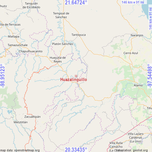
Huazalinguillo GPS coordinates[2]
20° 59' 32.064" North, 98° 14' 53.16" West
| Map corner | latitude | longitude |
|---|---|---|
| Upper-left | 21.64724°, | -98.95123° |
| Center: | 20.99224°, | -98.2481° |
| Lower-right: | 20.33435°, | -97.54498° |
| Map W x H: | 146×146 km | = 90.7×90.7mi |
| max Lat: | 32.7° ⇑23.6% North |
| Huazalinguillo: | 20.99224° |
| min Lat: | ⇓76.4% South 14.53588° |
| min Long | Huazalinguillo | max Long |
| -117.105° | -98.2481° | -86.73105° |
| W 60.6%⇐ | ⇒39.4% E |
Elevation
Elevation of Huazalinguillo is 249 m = 817 ft, and this is 1004.7 m = 3296 ft below average elevation for this country.
| Max E: |
3497 m = 11473 ft | 74.2% |
| Avg. | 1253.7 m = 4113 ft | |
| Huazalinguillo | 249 m = 817 ft | |
Min E: |
-1 m = -3 ft | 25.8% |
See also: Mexico elevation on elevation.city.
Geographical zone
Huazalinguillo is located in North Torrid zone (between Equator and Tropic of Cancer). Distance of this Northern Tropic circle is 271.8 km =168.9 mi to North.| Distance of | km | miles | from Huazalinguillo |
|---|---|---|---|
| North Pole | 7672.9 | 4767.7 | to North |
| Arctic Circle | 5067.1 | 3148.5 | to North |
| Tropic Cancer | 271.8 | 168.9 | to North |
| Equator | 2334.1 | 1450.3 | to South |


Nearby cities:
15 places around Huazalinguillo: (largest is in red/bold)
• Acatepec
5 km =3.1 mi,  211°
211°
• Acatipa
8.5 km =5.3 mi,  191°
191°
• Acatitla
6.8 km =4.2 mi,  125°
125°
• Ahuatitla
4.3 km =2.7 mi,  137°
137°
• Ahuehuetl
7.2 km =4.5 mi,  328°
328°
• Ahuica
10 km =6.2 mi, 132°
• Chicontepec
8.2 km =5.1 mi,  105°
105°
• Coatzonco
5.7 km =3.5 mi,  267°
267°
• Huautla
5.9 km =3.7 mi,  317°
317°
• Ixtaczoquio
9.2 km =5.7 mi, 190°
• Los Puentes
8.5 km =5.3 mi,  308°
308°
• Sasaltitla
8.3 km =5.2 mi, 140°
• Tamoyón I
3.6 km =2.2 mi,  1°
1°
• Texoloc
8.4 km =5.2 mi,  183°
183°
• Tlacuapan
8.6 km =5.3 mi, 313°
Sources, notices
• [Note1] Compared only with cities in Mexico existing in our database
• [Src1] Map data: © OpenStreetMap contributors (CC-BY-SA)
• [Src2] Other city data from geonames.org with taken over terms of usage.
• [Src3] Geographical zone / Annual Mean Temperature by Robert A. Rohde @ Wikipedia
