Huautla geodata
Huautla (Hidalgo) is a populated place; located in Mexico in America/Mexico_City (GMT-6) time zone. With population of 3,755 people, there are 2442 cities with bigger population in this country. Compared to other cities in Mexico, 76.9% of cities are located further ↓South; 60% of cities are located further ←West and 68.2% of cities have higher elevation than Huautla. Note1


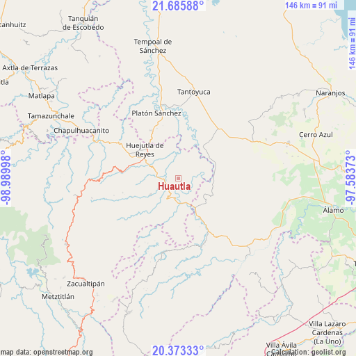
Huautla GPS coordinates[2]
21° 1' 51.78" North, 98° 17' 12.66" West
| Map corner | latitude | longitude |
|---|---|---|
| Upper-left | 21.68588°, | -98.98998° |
| Center: | 21.03105°, | -98.28685° |
| Lower-right: | 20.37333°, | -97.58373° |
| Map W x H: | 145.9×145.9 km | = 90.7×90.7mi |
| max Lat: | 32.7° ⇑23.1% North |
| Huautla: | 21.03105° |
| min Lat: | ⇓76.9% South 14.53588° |
| min Long | Huautla | max Long |
| -117.105° | -98.28685° | -86.73105° |
| W 60%⇐ | ⇒40% E |
Elevation
Elevation of Huautla is 521 m = 1709 ft, and this is 732.7 m = 2404 ft below average elevation for this country.
| Max E: |
3497 m = 11473 ft | 68.2% |
| Avg. | 1253.7 m = 4113 ft | |
| Huautla | 521 m = 1709 ft | |
Min E: |
-1 m = -3 ft | 31.8% |
See also: Mexico elevation on elevation.city.
Geographical zone
Huautla is located in North Torrid zone (between Equator and Tropic of Cancer). Distance of this Northern Tropic circle is 267.5 km =166.2 mi to North.| Distance of | km | miles | from Huautla |
|---|---|---|---|
| North Pole | 7668.6 | 4765 | to North |
| Arctic Circle | 5062.7 | 3145.8 | to North |
| Tropic Cancer | 267.5 | 166.2 | to North |
| Equator | 2338.4 | 1453 | to South |


Nearby cities:
15 places around Huautla: (largest is in red/bold)
• Acatepec
8.7 km =5.4 mi,  171°
171°
• Achiquihuixtla
10 km =6.2 mi,  236°
236°
• Ahuatitla
10.2 km =6.3 mi,  137°
137°
• Ahuehuetl
1.8 km =1.1 mi,  7°
7°
• Atlapexco
6.4 km =4 mi,  258°
258°
• Chalingo
10.3 km =6.4 mi,  42°
42°
• Coatzonco
4.8 km =3 mi,  199°
199°
• Huazalinguillo
5.9 km =3.7 mi, 137°
• Huitzotlaco
9.5 km =5.9 mi,  276°
276°
• Los Puentes
2.8 km =1.7 mi,  291°
291°
• Pahactla
9.6 km =6 mi,  228°
228°
• Tamoyón I
4.2 km =2.6 mi,  100°
100°
• Tecolotitla
8.5 km =5.3 mi,  250°
250°
• Tenexco II
7.7 km =4.8 mi,  299°
299°
• Tlacuapan
2.7 km =1.7 mi,  305°
305°
Sources, notices
• [Note1] Compared only with cities in Mexico existing in our database
• [Src1] Map data: © OpenStreetMap contributors (CC-BY-SA)
• [Src2] Other city data from geonames.org with taken over terms of usage.
• [Src3] Geographical zone / Annual Mean Temperature by Robert A. Rohde @ Wikipedia
