Bajucu geodata
Bajucu (Chiapas) is a populated place; located in Mexico in America/Mexico_City (GMT-6) time zone. With population of 1,665 people, there are 5221 cities with bigger population in this country. Compared to other cities in Mexico, 94.5% of cities are located further ↑North; 95% of cities are located further ←West and 59.5% of cities have lower elevation than Bajucu. Note1


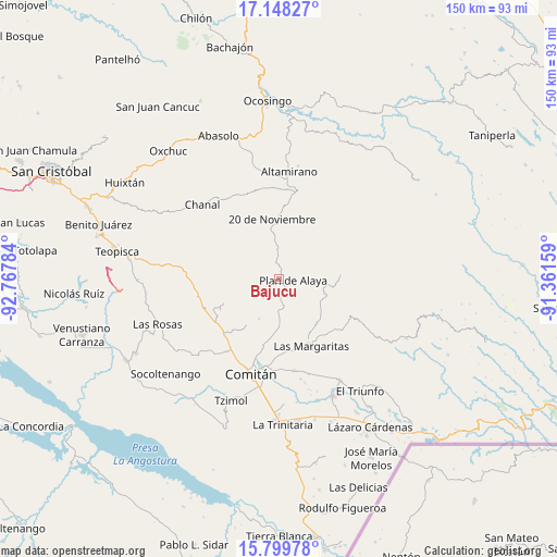
Bajucu GPS coordinates[2]
16° 28' 30.72" North, 92° 3' 52.956" West
| Map corner | latitude | longitude |
|---|---|---|
| Upper-left | 17.14827°, | -92.76784° |
| Center: | 16.4752°, | -92.06471° |
| Lower-right: | 15.79978°, | -91.36159° |
| Map W x H: | 149.9×149.9 km | = 93.1×93.1mi |
| max Lat: | 32.7° ⇑94.5% North |
| Bajucu: | 16.4752° |
| min Lat: | ⇓5.5% South 14.53588° |
| min Long | Bajucu | max Long |
| -117.105° | -92.06471° | -86.73105° |
| W 95%⇐ | ⇒5% E |
Elevation
Elevation of Bajucu is 1718 m = 5636 ft, and this is 464.3 m = 1523 ft above average elevation for this country.
| Max E: |
3497 m = 11473 ft | 40.5% |
| Bajucu | 1718 m 5636 ft | |
| Avg. | 1253.7 m = 4113 ft | |
Min E: |
-1 m = -3 ft | 59.5% |
See also: Mexico elevation on elevation.city.
Geographical zone
Bajucu is located in North Torrid zone (between Equator and Tropic of Cancer). Distance of this Northern Tropic circle is 774 km =480.9 mi to North.| Distance of | km | miles | from Bajucu |
|---|---|---|---|
| North Pole | 8175.2 | 5079.8 | to North |
| Arctic Circle | 5569.3 | 3460.6 | to North |
| Tropic Cancer | 774 | 480.9 | to North |
| Equator | 1831.9 | 1138.3 | to South |


Nearby cities:
15 places around Bajucu: (largest is in red/bold)
• Buenavista Bawitz
5.9 km =3.7 mi,  299°
299°
• González de León
3.5 km =2.2 mi,  13°
13°
• Jalisco
10.8 km =6.7 mi,  117°
117°
• Justo Sierra
7.5 km =4.7 mi, 5°
• Juznajab la Laguna
11.1 km =6.9 mi,  200°
200°
• La Piedad
9.1 km =5.7 mi,  288°
288°
• Lomantán
3.9 km =2.4 mi,  179°
179°
• Mexiquito
10.5 km =6.5 mi,  94°
94°
• Nuevo México
10.7 km =6.6 mi,  348°
348°
• Plan de Ayala
4 km =2.5 mi,  95°
95°
• Rosario Bawitz
4.2 km =2.6 mi, 299°
• San Antonio Bawitz
6.7 km =4.2 mi,  309°
309°
• Santa Rita Sonora
7 km =4.3 mi,  45°
45°
• Veracruz
10.5 km =6.5 mi,  138°
138°
• Yasha
9.3 km =5.8 mi, 182°
Sources, notices
• [Note1] Compared only with cities in Mexico existing in our database
• [Src1] Map data: © OpenStreetMap contributors (CC-BY-SA)
• [Src2] Other city data from geonames.org with taken over terms of usage.
• [Src3] Geographical zone / Annual Mean Temperature by Robert A. Rohde @ Wikipedia
