San José Manialtepec geodata
San José Manialtepec (Oaxaca) is a populated place; located in Mexico in America/Mexico_City (GMT-6) time zone. With population of 933 people, there are 9344 cities with bigger population in this country. Compared to other cities in Mexico, 97.3% of cities are located further ↑North; 72.1% of cities are located further ←West and 90.8% of cities have higher elevation than San José Manialtepec. Note1


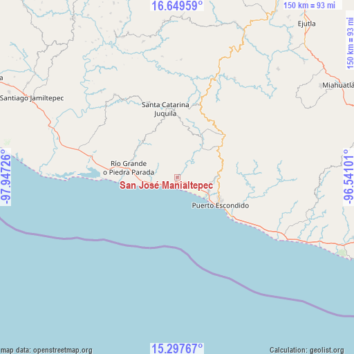
San José Manialtepec GPS coordinates[2]
15° 58' 29.172" North, 97° 14' 38.868" West
| Map corner | latitude | longitude |
|---|---|---|
| Upper-left | 16.64959°, | -97.94726° |
| Center: | 15.97477°, | -97.24413° |
| Lower-right: | 15.29767°, | -96.54101° |
| Map W x H: | 150.3×150.3 km | = 93.4×93.4mi |
| max Lat: | 32.7° ⇑97.3% North |
| San José Manialtepec: | 15.97477° |
| min Lat: | ⇓2.7% South 14.53588° |
| min Long | San José Mania | max Long |
| -117.105° | -97.24413° | -86.73105° |
| W 72.1%⇐ | ⇒27.9% E |
Elevation
Elevation of San José Manialtepec is 22 m = 72 ft, and this is 1231.7 m = 4041 ft below average elevation for this country.
| Max E: |
3497 m = 11473 ft | 90.8% |
| Avg. | 1253.7 m = 4113 ft | |
| San José Manialtepec | 22 m = 72 ft | |
Min E: |
-1 m = -3 ft | 9.2% |
See also: Mexico elevation on elevation.city.
Geographical zone
San José Manialtepec is located in North Torrid zone (between Equator and Tropic of Cancer). Distance of this Northern Tropic circle is 829.7 km =515.6 mi to North.| Distance of | km | miles | from San José Manialtepec |
|---|---|---|---|
| North Pole | 8230.8 | 5114.4 | to North |
| Arctic Circle | 5624.9 | 3495.1 | to North |
| Tropic Cancer | 829.7 | 515.6 | to North |
| Equator | 1776.2 | 1103.7 | to South |


Nearby cities:
15 places around San José Manialtepec: (largest is in red/bold)
• Bajos de Chila
14.3 km =8.9 mi,  113°
113°
• Cerro del Aire
15.6 km =9.7 mi,  15°
15°
• El Cacalote
11.8 km =7.3 mi,  258°
258°
• El Huarumbo
17.1 km =10.6 mi,  83°
83°
• Hidalgo Manialtepec
2 km =1.2 mi,  209°
209°
• Puerto Escondido
21.3 km =13.2 mi,  123°
123°
• Río Grande
20.9 km =13 mi,  281°
281°
• San Andrés Copala
11 km =6.8 mi, 75°
• San José Atotonilco
16 km =9.9 mi, 24°
• San Pedro Mixtepec
17.6 km =10.9 mi,  87°
87°
• Santa Lucía Teotepec
19 km =11.8 mi,  11°
11°
• Santa María Temaxcaltepec
21.8 km =13.5 mi, 13°
• Santa María Tiltepec
12.6 km =7.8 mi,  38°
38°
• Santiago Cuixtla
11.5 km =7.1 mi,  32°
32°
• Santos Reyes Nopala
18.2 km =11.3 mi, 35°
Sources, notices
• [Note1] Compared only with cities in Mexico existing in our database
• [Src1] Map data: © OpenStreetMap contributors (CC-BY-SA)
• [Src2] Other city data from geonames.org with taken over terms of usage.
• [Src3] Geographical zone / Annual Mean Temperature by Robert A. Rohde @ Wikipedia
