Maguey Largo geodata
Maguey Largo (Oaxaca) is a populated place; located in Mexico in America/Mexico_City (GMT-6) time zone. With population of 761 people, there are 11509 cities with bigger population in this country. Compared to other cities in Mexico, 93% of cities are located further ↑North; 78.8% of cities are located further ←West and 55.5% of cities have lower elevation than Maguey Largo. Note1


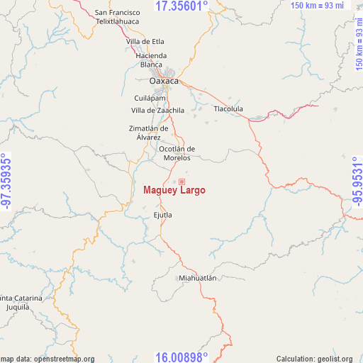
Maguey Largo GPS coordinates[2]
16° 41' 1.248" North, 96° 39' 22.392" West
| Map corner | latitude | longitude |
|---|---|---|
| Upper-left | 17.35601°, | -97.35935° |
| Center: | 16.68368°, | -96.65622° |
| Lower-right: | 16.00898°, | -95.9531° |
| Map W x H: | 149.8×149.8 km | = 93.1×93.1mi |
| max Lat: | 32.7° ⇑93% North |
| Maguey Largo: | 16.68368° |
| min Lat: | ⇓7% South 14.53588° |
| min Long | Maguey Largo | max Long |
| -117.105° | -96.65622° | -86.73105° |
| W 78.8%⇐ | ⇒21.2% E |
Elevation
Elevation of Maguey Largo is 1601 m = 5253 ft, and this is 347.3 m = 1139 ft above average elevation for this country.
| Max E: |
3497 m = 11473 ft | 44.5% |
| Maguey Largo | 1601 m 5253 ft | |
| Avg. | 1253.7 m = 4113 ft | |
Min E: |
-1 m = -3 ft | 55.5% |
See also: Mexico elevation on elevation.city.
Geographical zone
Maguey Largo is located in North Torrid zone (between Equator and Tropic of Cancer). Distance of this Northern Tropic circle is 750.9 km =466.6 mi to North.| Distance of | km | miles | from Maguey Largo |
|---|---|---|---|
| North Pole | 8152 | 5065.4 | to North |
| Arctic Circle | 5546.1 | 3446.2 | to North |
| Tropic Cancer | 750.9 | 466.6 | to North |
| Equator | 1855.1 | 1152.7 | to South |


Nearby cities:
15 places around Maguey Largo: (largest is in red/bold)
• Asunción Ocotlán
11.1 km =6.9 mi,  321°
321°
• El Vergel
11.2 km =7 mi,  244°
244°
• Los Ocotes
10.2 km =6.3 mi,  221°
221°
• Magdalena Ocotlán
6.4 km =4 mi,  295°
295°
• Monte del Toro
8.9 km =5.5 mi,  265°
265°
• Praxedis de Guerrero
4.4 km =2.7 mi,  23°
23°
• San Dionisio Ocotlán
7.5 km =4.7 mi,  340°
340°
• San Jerónimo Taviche
7.5 km =4.7 mi,  62°
62°
• San José del Progreso
3.1 km =1.9 mi,  276°
276°
• San José la Garzona
1.9 km =1.2 mi,  101°
101°
• San Martín de los Canseco
8.2 km =5.1 mi,  248°
248°
• San Pedro Apóstol
9.4 km =5.8 mi,  309°
309°
• San Pedro Martir
8.8 km =5.5 mi, 318°
• Santa Catarina Minas
11.5 km =7.1 mi, 22°
• Santa Lucía Ocotlán
6.6 km =4.1 mi, 337°
Sources, notices
• [Note1] Compared only with cities in Mexico existing in our database
• [Src1] Map data: © OpenStreetMap contributors (CC-BY-SA)
• [Src2] Other city data from geonames.org with taken over terms of usage.
• [Src3] Geographical zone / Annual Mean Temperature by Robert A. Rohde @ Wikipedia
