Aldama geodata
Aldama (Chiapas) is a seat of a second-order administrative division; located in Mexico in America/Mexico_City (GMT-6) time zone. With population of 1,273 people, there are 6805 cities with bigger population in this country. Compared to other cities in Mexico, 90.1% of cities are located further ↑North; 90.6% of cities are located further ←West and 64.7% of cities have lower elevation than Aldama. Note1


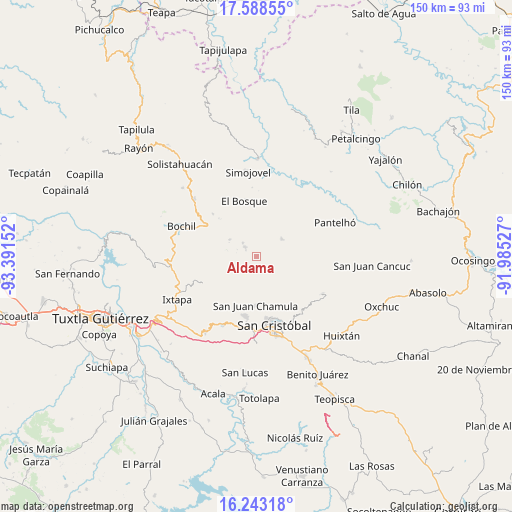
Aldama GPS coordinates[2]
16° 55' 1.452" North, 92° 41' 18.204" West
| Map corner | latitude | longitude |
|---|---|---|
| Upper-left | 17.58855°, | -93.39152° |
| Center: | 16.91707°, | -92.68839° |
| Lower-right: | 16.24318°, | -91.98527° |
| Map W x H: | 149.6×149.6 km | = 93×93mi |
| max Lat: | 32.7° ⇑90.1% North |
| Aldama: | 16.91707° |
| min Lat: | ⇓9.9% South 14.53588° |
| min Long | Aldama | max Long |
| -117.105° | -92.68839° | -86.73105° |
| W 90.6%⇐ | ⇒9.4% E |
Elevation
Elevation of Aldama is 1820 m = 5971 ft, and this is 566.3 m = 1858 ft above average elevation for this country.
| Max E: |
3497 m = 11473 ft | 35.3% |
| Aldama | 1820 m 5971 ft | |
| Avg. | 1253.7 m = 4113 ft | |
Min E: |
-1 m = -3 ft | 64.7% |
See also: Mexico elevation on elevation.city.
Geographical zone
Aldama is located in North Torrid zone (between Equator and Tropic of Cancer). Distance of this Northern Tropic circle is 724.9 km =450.4 mi to North.| Distance of | km | miles | from Aldama |
|---|---|---|---|
| North Pole | 8126.1 | 5049.3 | to North |
| Arctic Circle | 5520.2 | 3430.1 | to North |
| Tropic Cancer | 724.9 | 450.4 | to North |
| Equator | 1881 | 1168.8 | to South |


Nearby cities:
15 places around Aldama: (largest is in red/bold)
• Bayalemo Dos
8.6 km =5.3 mi,  282°
282°
• Belisario Domínguez
4.1 km =2.5 mi,  133°
133°
• Caridad San Antonio
3.2 km =2 mi,  76°
76°
• Chalchihuitán
9.1 km =5.7 mi,  54°
54°
• Chenalhó
7.1 km =4.4 mi,  111°
111°
• Epalchén
3 km =1.9 mi,  196°
196°
• Icalumtic
6.7 km =4.2 mi,  151°
151°
• Larráinzar
4.5 km =2.8 mi,  215°
215°
• Macvilhó
6.6 km =4.1 mi,  185°
185°
• Majomut
8.2 km =5.1 mi,  157°
157°
• Mitontic
8.5 km =5.3 mi, 131°
• Muctahuitz
9 km =5.6 mi,  233°
233°
• Pilalchén
8.5 km =5.3 mi,  177°
177°
• Santiago el Pinar
3.8 km =2.4 mi,  313°
313°
• Tentic
6 km =3.7 mi,  173°
173°
Sources, notices
• [Note1] Compared only with cities in Mexico existing in our database
• [Src1] Map data: © OpenStreetMap contributors (CC-BY-SA)
• [Src2] Other city data from geonames.org with taken over terms of usage.
• [Src3] Geographical zone / Annual Mean Temperature by Robert A. Rohde @ Wikipedia
