San Martín Esperilla geodata
San Martín Esperilla (Puebla) is a populated place; located in Mexico in America/Mexico_City (GMT-6) time zone. With population of 1,149 people, there are 7545 cities with bigger population in this country. Compared to other cities in Mexico, 69.8% of cities are located further ↑North; 69% of cities are located further ←West and 90.9% of cities have lower elevation than San Martín Esperilla. Note1
Current local time in San Martín Esperilla:
06:45 AM, WednesdayDifference from your time zone: hours


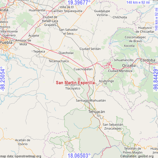
San Martín Esperilla GPS coordinates[2]
18° 43' 55.956" North, 97° 32' 50.676" West
| Map corner | latitude | longitude |
|---|---|---|
| Upper-left | 19.39677°, | -98.25054° |
| Center: | 18.73221°, | -97.54741° |
| Lower-right: | 18.06503°, | -96.84429° |
| Map W x H: | 148.1×148.1 km | = 92×92mi |
| max Lat: | 32.7° ⇑69.8% North |
| San Martín Esperilla: | 18.73221° |
| min Lat: | ⇓30.2% South 14.53588° |
| min Long | San Martín Esp | max Long |
| -117.105° | -97.54741° | -86.73105° |
| W 69%⇐ | ⇒31% E |
Elevation
Elevation of San Martín Esperilla is 2437 m = 7995 ft, and this is 1183.3 m = 3882 ft above average elevation for this country.
| Max E: |
3497 m = 11473 ft | 9.1% |
| San Martín Esperilla | 2437 m 7995 ft | |
| Avg. | 1253.7 m = 4113 ft | |
Min E: |
-1 m = -3 ft | 90.9% |
See also: Mexico elevation on elevation.city.
Geographical zone
San Martín Esperilla is located in North Torrid zone (between Equator and Tropic of Cancer). Distance of this Northern Tropic circle is 523.1 km =325 mi to North.| Distance of | km | miles | from San Martín Esperilla |
|---|---|---|---|
| North Pole | 7924.2 | 4923.9 | to North |
| Arctic Circle | 5318.3 | 3304.6 | to North |
| Tropic Cancer | 523.1 | 325 | to North |
| Equator | 2082.8 | 1294.2 | to South |


Nearby cities:
15 places around San Martín Esperilla: (largest is in red/bold)
• Cuacnopalan
10.2 km =6.3 mi,  21°
21°
• La Purísima
11.2 km =7 mi,  346°
346°
• Los Marías
12.2 km =7.6 mi,  264°
264°
• Morelos Cañada
13.3 km =8.3 mi,  88°
88°
• Palmar de Bravo
11.5 km =7.1 mi,  0°
0°
• Pazoltepec
12.1 km =7.5 mi,  193°
193°
• Rancho Chico
12.5 km =7.8 mi,  277°
277°
• San José Buenavista
8.7 km =5.4 mi,  202°
202°
• San José Ixtapa
9.4 km =5.8 mi,  101°
101°
• San José Tlacuitlapan
8.7 km =5.4 mi,  251°
251°
• San Marcos Tlacoyalco
8.8 km =5.5 mi,  222°
222°
• San Miguel Zozutla
11.6 km =7.2 mi, 282°
• Tecoxtle
12.8 km =8 mi, 222°
• Tlacomulco
11.4 km =7.1 mi,  272°
272°
• Tlacotepec
12.7 km =7.9 mi,  243°
243°
Sources, notices
• [Note1] Compared only with cities in Mexico existing in our database
• [Src1] Map data: © OpenStreetMap contributors (CC-BY-SA)
• [Src2] Other city data from geonames.org with taken over terms of usage.
• [Src3] Geographical zone / Annual Mean Temperature by Robert A. Rohde @ Wikipedia
