Zacacoyuca geodata
Zacacoyuca (Guerrero) is a populated place; located in Mexico in America/Mexico_City (GMT-6) time zone. With population of 1,526 people, there are 5654 cities with bigger population in this country. Compared to other cities in Mexico, 75.5% of cities are located further ↑North; 57.3% of cities are located further →East and 61.5% of cities have higher elevation than Zacacoyuca. Note1


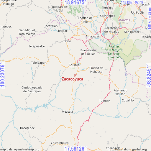
Zacacoyuca GPS coordinates[2]
18° 15' 1.044" North, 99° 31' 39.468" West
| Map corner | latitude | longitude |
|---|---|---|
| Upper-left | 18.91675°, | -100.23076° |
| Center: | 18.25029°, | -99.52763° |
| Lower-right: | 17.58126°, | -98.82451° |
| Map W x H: | 148.5×148.5 km | = 92.3×92.3mi |
| max Lat: | 32.7° ⇑75.5% North |
| Zacacoyuca: | 18.25029° |
| min Lat: | ⇓24.5% South 14.53588° |
| min Long | Zacacoyuca | max Long |
| -117.105° | -99.52763° | -86.73105° |
| W 42.7%⇐ | ⇒57.3% E |
Elevation
Elevation of Zacacoyuca is 907 m = 2976 ft, and this is 346.7 m = 1137 ft below average elevation for this country.
| Max E: |
3497 m = 11473 ft | 61.5% |
| Avg. | 1253.7 m = 4113 ft | |
| Zacacoyuca | 907 m = 2976 ft | |
Min E: |
-1 m = -3 ft | 38.5% |
See also: Mexico elevation on elevation.city.
Geographical zone
Zacacoyuca is located in North Torrid zone (between Equator and Tropic of Cancer). Distance of this Northern Tropic circle is 576.7 km =358.3 mi to North.| Distance of | km | miles | from Zacacoyuca |
|---|---|---|---|
| North Pole | 7977.8 | 4957.2 | to North |
| Arctic Circle | 5371.9 | 3337.9 | to North |
| Tropic Cancer | 576.7 | 358.3 | to North |
| Equator | 2029.2 | 1260.9 | to South |


Nearby cities:
15 places around Zacacoyuca: (largest is in red/bold)
• Acayahualco
5.7 km =3.5 mi,  119°
119°
• Ceja Blanca
6.1 km =3.8 mi,  323°
323°
• Colonia Rancho del Cura (El Cura)
5.1 km =3.2 mi,  19°
19°
• Cuexcontlán
12 km =7.5 mi,  59°
59°
• Fermín Rabadán Cervantes
8.3 km =5.2 mi,  329°
329°
• Iguala de la Independencia
10.7 km =6.6 mi,  352°
352°
• Metlapa
10.9 km =6.8 mi,  307°
307°
• Rincón de la Cocina
6.4 km =4 mi,  96°
96°
• Sabana Grande
10.5 km =6.5 mi,  192°
192°
• Santa Teresa
3.2 km =2 mi,  136°
136°
• Sasamulco
11.4 km =7.1 mi,  206°
206°
• Tepecoacuilco de Trujano
7.9 km =4.9 mi, 58°
• Tepochica
5.8 km =3.6 mi,  3°
3°
• Tierra Colorada
5.7 km =3.5 mi,  67°
67°
• Tuxpan
12.1 km =7.5 mi, 24°
Sources, notices
• [Note1] Compared only with cities in Mexico existing in our database
• [Src1] Map data: © OpenStreetMap contributors (CC-BY-SA)
• [Src2] Other city data from geonames.org with taken over terms of usage.
• [Src3] Geographical zone / Annual Mean Temperature by Robert A. Rohde @ Wikipedia
