San Rafael Río Seco geodata
San Rafael Río Seco (Veracruz) is a populated place; located in Mexico in America/Mexico_City (GMT-6) time zone. With population of 1,468 people, there are 5885 cities with bigger population in this country. Compared to other cities in Mexico, 67.6% of cities are located further ↑North; 76.2% of cities are located further ←West and 64.7% of cities have higher elevation than San Rafael Río Seco. Note1


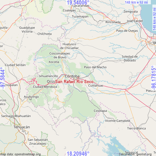
San Rafael Río Seco GPS coordinates[2]
18° 52' 33.888" North, 96° 52' 52.572" West
| Map corner | latitude | longitude |
|---|---|---|
| Upper-left | 19.54006°, | -97.5844° |
| Center: | 18.87608°, | -96.88127° |
| Lower-right: | 18.20946°, | -96.17815° |
| Map W x H: | 147.9×148 km | = 91.9×92mi |
| max Lat: | 32.7° ⇑67.6% North |
| San Rafael Río Seco: | 18.87608° |
| min Lat: | ⇓32.4% South 14.53588° |
| min Long | San Rafael Río | max Long |
| -117.105° | -96.88127° | -86.73105° |
| W 76.2%⇐ | ⇒23.8% E |
Elevation
Elevation of San Rafael Río Seco is 705 m = 2313 ft, and this is 548.7 m = 1800 ft below average elevation for this country.
| Max E: |
3497 m = 11473 ft | 64.7% |
| Avg. | 1253.7 m = 4113 ft | |
| San Rafael Río Seco | 705 m = 2313 ft | |
Min E: |
-1 m = -3 ft | 35.3% |
See also: Mexico elevation on elevation.city.
Geographical zone
San Rafael Río Seco is located in North Torrid zone (between Equator and Tropic of Cancer). Distance of this Northern Tropic circle is 507.1 km =315.1 mi to North.| Distance of | km | miles | from San Rafael Río Seco |
|---|---|---|---|
| North Pole | 7908.2 | 4913.9 | to North |
| Arctic Circle | 5302.4 | 3294.8 | to North |
| Tropic Cancer | 507.1 | 315.1 | to North |
| Equator | 2098.8 | 1304.1 | to South |


Nearby cities:
15 places around San Rafael Río Seco: (largest is in red/bold)
• Agustín Millán
4.2 km =2.6 mi,  284°
284°
• Amatlán de los Reyes
4.9 km =3 mi,  228°
228°
• Berlín
6.4 km =4 mi,  317°
317°
• Cacahuatal
6.5 km =4 mi,  140°
140°
• Cuauhtémoc
1.7 km =1.1 mi,  261°
261°
• Córdoba
4.7 km =2.9 mi, 280°
• Ex-hacienda la Concepción
6.7 km =4.2 mi,  117°
117°
• Ignacio Zaragoza
6.8 km =4.2 mi,  46°
46°
• Manuel León
2.7 km =1.7 mi,  157°
157°
• Paraje Nuevo
2.2 km =1.4 mi,  81°
81°
• Peñuela
1.8 km =1.1 mi,  223°
223°
• Potrero Viejo
4 km =2.5 mi,  87°
87°
• San Antonio Fraternidad
5.5 km =3.4 mi,  129°
129°
• San Matías
6.1 km =3.8 mi,  312°
312°
• Venta Parada
4.3 km =2.7 mi, 129°
Sources, notices
• [Note1] Compared only with cities in Mexico existing in our database
• [Src1] Map data: © OpenStreetMap contributors (CC-BY-SA)
• [Src2] Other city data from geonames.org with taken over terms of usage.
• [Src3] Geographical zone / Annual Mean Temperature by Robert A. Rohde @ Wikipedia
