Plan de Ayala geodata
Plan de Ayala (Veracruz) is a populated place; located in Mexico in America/Mexico_City (GMT-6) time zone. With population of 11,657 people, there are 824 cities with bigger population in this country. Compared to other cities in Mexico, 68.9% of cities are located further ↓South; 69.8% of cities are located further ←West and 84.3% of cities have higher elevation than Plan de Ayala. Note1


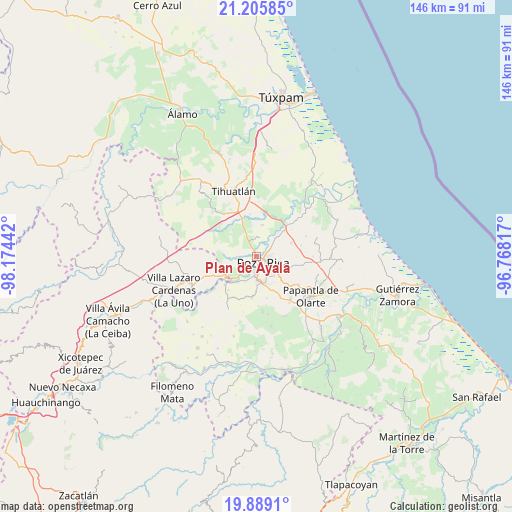
Plan de Ayala GPS coordinates[2]
20° 32' 56.004" North, 97° 28' 16.644" West
| Map corner | latitude | longitude |
|---|---|---|
| Upper-left | 21.20585°, | -98.17442° |
| Center: | 20.54889°, | -97.47129° |
| Lower-right: | 19.8891°, | -96.76817° |
| Map W x H: | 146.4×146.4 km | = 91×91mi |
| max Lat: | 32.7° ⇑31.1% North |
| Plan de Ayala: | 20.54889° |
| min Lat: | ⇓68.9% South 14.53588° |
| min Long | Plan de Ayala | max Long |
| -117.105° | -97.47129° | -86.73105° |
| W 69.8%⇐ | ⇒30.2% E |
Elevation
Elevation of Plan de Ayala is 49 m = 161 ft, and this is 1204.7 m = 3952 ft below average elevation for this country.
| Max E: |
3497 m = 11473 ft | 84.3% |
| Avg. | 1253.7 m = 4113 ft | |
| Plan de Ayala | 49 m = 161 ft | |
Min E: |
-1 m = -3 ft | 15.7% |
See also: Mexico elevation on elevation.city.
Geographical zone
Plan de Ayala is located in North Torrid zone (between Equator and Tropic of Cancer). Distance of this Northern Tropic circle is 321.1 km =199.5 mi to North.| Distance of | km | miles | from Plan de Ayala |
|---|---|---|---|
| North Pole | 7722.2 | 4798.4 | to North |
| Arctic Circle | 5116.4 | 3179.2 | to North |
| Tropic Cancer | 321.1 | 199.5 | to North |
| Equator | 2284.8 | 1419.7 | to South |


Nearby cities:
15 places around Plan de Ayala: (largest is in red/bold)
• Arroyo del Maíz Uno
6 km =3.7 mi,  103°
103°
• Coatzintla
6.9 km =4.3 mi,  177°
177°
• Colonia las Arboledas
6.8 km =4.2 mi,  45°
45°
• El Mollejon
6.3 km =3.9 mi, 96°
• Emiliano Zapata
5.7 km =3.5 mi,  269°
269°
• Fraccionamiento la Florida
6.1 km =3.8 mi, 46°
• La Isla Km 10
7.1 km =4.4 mi,  335°
335°
• Miguel Hidalgo
3.2 km =2 mi,  278°
278°
• Poza Rica de Hidalgo
2.1 km =1.3 mi,  144°
144°
• Rancho Nuevo
4.3 km =2.7 mi,  13°
13°
• Ricardo Flores Magón
4.6 km =2.9 mi,  212°
212°
• San Miguel Mecatepec
2.8 km =1.7 mi,  217°
217°
• Totolapa
1.1 km =0.7 mi,  332°
332°
• Villa de las Flores
5 km =3.1 mi, 52°
• Úrsulo Galván
6.9 km =4.3 mi,  29°
29°
Sources, notices
• [Note1] Compared only with cities in Mexico existing in our database
• [Src1] Map data: © OpenStreetMap contributors (CC-BY-SA)
• [Src2] Other city data from geonames.org with taken over terms of usage.
• [Src3] Geographical zone / Annual Mean Temperature by Robert A. Rohde @ Wikipedia
