La Encarnación geodata
La Encarnación (Zacatecas) is a populated place; located in Mexico in America/Mexico_City (GMT-6) time zone. With population of 603 people, there are 14266 cities with bigger population in this country. Compared to other cities in Mexico, 85.5% of cities are located further ↓South; 85.5% of cities are located further →East and 66.2% of cities have lower elevation than La Encarnación. Note1


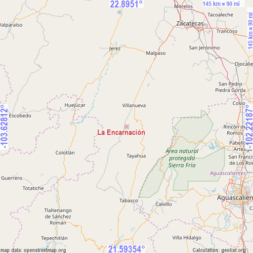
La Encarnación GPS coordinates[2]
22° 14' 44.988" North, 102° 55' 29.964" West
| Map corner | latitude | longitude |
|---|---|---|
| Upper-left | 22.8951°, | -103.62812° |
| Center: | 22.24583°, | -102.92499° |
| Lower-right: | 21.59354°, | -102.22187° |
| Map W x H: | 144.7×144.7 km | = 89.9×89.9mi |
| max Lat: | 32.7° ⇑14.5% North |
| La Encarnación: | 22.24583° |
| min Lat: | ⇓85.5% South 14.53588° |
| min Long | La Encarnación | max Long |
| -117.105° | -102.92499° | -86.73105° |
| W 14.5%⇐ | ⇒85.5% E |
Elevation
Elevation of La Encarnación is 1855 m = 6086 ft, and this is 601.3 m = 1973 ft above average elevation for this country.
| Max E: |
3497 m = 11473 ft | 33.8% |
| La Encarnación | 1855 m 6086 ft | |
| Avg. | 1253.7 m = 4113 ft | |
Min E: |
-1 m = -3 ft | 66.2% |
See also: Mexico elevation on elevation.city.
Geographical zone
La Encarnación is located in North Torrid zone (between Equator and Tropic of Cancer). Distance of this Northern Tropic circle is 132.4 km =82.3 mi to North.| Distance of | km | miles | from La Encarnación |
|---|---|---|---|
| North Pole | 7533.6 | 4681.2 | to North |
| Arctic Circle | 4927.7 | 3061.9 | to North |
| Tropic Cancer | 132.4 | 82.3 | to North |
| Equator | 2473.5 | 1537 | to South |


Nearby cities:
15 places around La Encarnación: (largest is in red/bold)
• Colonia Felipe Ángeles
36.3 km =22.6 mi,  22°
22°
• Colotlán
38.2 km =23.7 mi,  247°
247°
• El Salto
10.5 km =6.5 mi,  345°
345°
• El Tigre
21.7 km =13.5 mi,  1°
1°
• Huejúcar
32 km =19.9 mi,  293°
293°
• La Quemada
21.4 km =13.3 mi, 23°
• Las Golondrinas [Fraccionamiento]
37.3 km =23.2 mi, 245°
• San Luis de Custique
30.3 km =18.8 mi,  169°
169°
• Santa María de los Ángeles
31.9 km =19.8 mi,  255°
255°
• Saúz de los Márquez
24.7 km =15.3 mi,  233°
233°
• Tayahua
17.8 km =11.1 mi,  162°
162°
• Tepetongo
33.2 km =20.6 mi,  315°
315°
• Tlacosahua
25.4 km =15.8 mi,  276°
276°
• Villanueva
12.9 km =8 mi, 19°
• Víboras
31.6 km =19.6 mi,  306°
306°
Sources, notices
• [Note1] Compared only with cities in Mexico existing in our database
• [Src1] Map data: © OpenStreetMap contributors (CC-BY-SA)
• [Src2] Other city data from geonames.org with taken over terms of usage.
• [Src3] Geographical zone / Annual Mean Temperature by Robert A. Rohde @ Wikipedia
