La Blanquita geodata
La Blanquita (Zacatecas) is a populated place; located in Mexico in America/Mexico_City (GMT-6) time zone. With population of 576 people, there are 14877 cities with bigger population in this country. Compared to other cities in Mexico, 87.5% of cities are located further ↓South; 83.4% of cities are located further →East and 81.2% of cities have lower elevation than La Blanquita. Note1


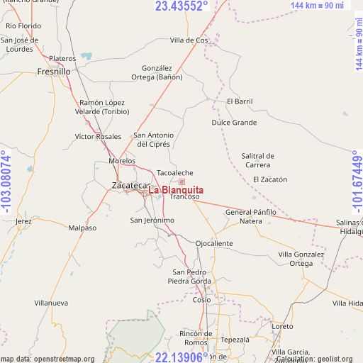
La Blanquita GPS coordinates[2]
22° 47' 19.788" North, 102° 22' 39.396" West
| Map corner | latitude | longitude |
|---|---|---|
| Upper-left | 23.43552°, | -103.08074° |
| Center: | 22.78883°, | -102.37761° |
| Lower-right: | 22.13906°, | -101.67449° |
| Map W x H: | 144.2×144.2 km | = 89.6×89.6mi |
| max Lat: | 32.7° ⇑12.5% North |
| La Blanquita: | 22.78883° |
| min Lat: | ⇓87.5% South 14.53588° |
| min Long | La Blanquita | max Long |
| -117.105° | -102.37761° | -86.73105° |
| W 16.6%⇐ | ⇒83.4% E |
Elevation
Elevation of La Blanquita is 2169 m = 7116 ft, and this is 915.3 m = 3003 ft above average elevation for this country.
| Max E: |
3497 m = 11473 ft | 18.8% |
| La Blanquita | 2169 m 7116 ft | |
| Avg. | 1253.7 m = 4113 ft | |
Min E: |
-1 m = -3 ft | 81.2% |
See also: Mexico elevation on elevation.city.
Geographical zone
La Blanquita is located in North Torrid zone (between Equator and Tropic of Cancer). Distance of this Northern Tropic circle is 72 km =44.7 mi to North.| Distance of | km | miles | from La Blanquita |
|---|---|---|---|
| North Pole | 7473.2 | 4643.6 | to North |
| Arctic Circle | 4867.3 | 3024.4 | to North |
| Tropic Cancer | 72 | 44.7 | to North |
| Equator | 2533.9 | 1574.5 | to South |


Nearby cities:
15 places around La Blanquita: (largest is in red/bold)
• Casa Blanca
12.9 km =8 mi,  34°
34°
• Cieneguitas
14.5 km =9 mi,  234°
234°
• El Lampotal
12.6 km =7.8 mi,  340°
340°
• Guadalupe
15.2 km =9.4 mi,  252°
252°
• La Luz
12.3 km =7.6 mi, 34°
• La Zacatecana
11.9 km =7.4 mi,  236°
236°
• Martínez Domínguez
11.5 km =7.1 mi, 246°
• San José de la Era
8.3 km =5.2 mi,  326°
326°
• San José del Carmen
10.8 km =6.7 mi,  103°
103°
• Santa Mónica
5.9 km =3.7 mi, 230°
• Santa Rita
14.3 km =8.9 mi, 343°
• Sauceda de La Borda
13.6 km =8.5 mi,  289°
289°
• Tacoaleche
4.5 km =2.8 mi,  321°
321°
• Trancoso
6 km =3.7 mi,  169°
169°
• Zoquite
4.6 km =2.9 mi,  265°
265°
Sources, notices
• [Note1] Compared only with cities in Mexico existing in our database
• [Src1] Map data: © OpenStreetMap contributors (CC-BY-SA)
• [Src2] Other city data from geonames.org with taken over terms of usage.
• [Src3] Geographical zone / Annual Mean Temperature by Robert A. Rohde @ Wikipedia
