Zaragoza de Solís geodata
Zaragoza de Solís (San Luis Potosí) is a populated place; located in Mexico in America/Mexico_City (GMT-6) time zone. With population of 614 people, there are 14035 cities with bigger population in this country. Compared to other cities in Mexico, 88.5% of cities are located further ↓South; 72.1% of cities are located further →East and 66.1% of cities have lower elevation than Zaragoza de Solís. Note1


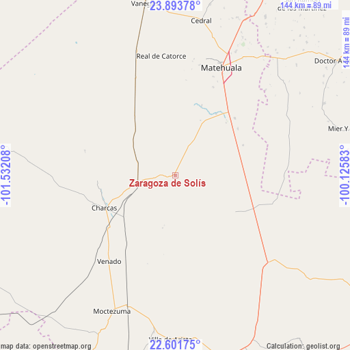
Zaragoza de Solís GPS coordinates[2]
23° 14' 57.588" North, 100° 49' 44.22" West
| Map corner | latitude | longitude |
|---|---|---|
| Upper-left | 23.89378°, | -101.53208° |
| Center: | 23.24933°, | -100.82895° |
| Lower-right: | 22.60175°, | -100.12583° |
| Map W x H: | 143.7×143.7 km | = 89.3×89.3mi |
| max Lat: | 32.7° ⇑11.5% North |
| Zaragoza de Solís: | 23.24933° |
| min Lat: | ⇓88.5% South 14.53588° |
| min Long | Zaragoza de Sol | max Long |
| -117.105° | -100.82895° | -86.73105° |
| W 27.9%⇐ | ⇒72.1% E |
Elevation
Elevation of Zaragoza de Solís is 1853 m = 6079 ft, and this is 599.3 m = 1966 ft above average elevation for this country.
| Max E: |
3497 m = 11473 ft | 33.9% |
| Zaragoza de Solís | 1853 m 6079 ft | |
| Avg. | 1253.7 m = 4113 ft | |
Min E: |
-1 m = -3 ft | 66.1% |
See also: Mexico elevation on elevation.city.
Geographical zone
Zaragoza de Solís is located in North Torrid zone (between Equator and Tropic of Cancer). Distance of this Northern Tropic circle is 20.8 km =12.9 mi to North.| Distance of | km | miles | from Zaragoza de Solís |
|---|---|---|---|
| North Pole | 7422 | 4611.8 | to North |
| Arctic Circle | 4816.1 | 2992.6 | to North |
| Tropic Cancer | 20.8 | 12.9 | to North |
| Equator | 2585.1 | 1606.3 | to South |


Nearby cities:
15 places around Zaragoza de Solís: (largest is in red/bold)
• Cañada Verde
34.1 km =21.2 mi,  235°
235°
• Charcas
32 km =19.9 mi,  245°
245°
• Coyote
47.2 km =29.3 mi,  146°
146°
• Estación Wadley
43.5 km =27 mi,  337°
337°
• Norias del Refugio
45 km =28 mi,  125°
125°
• Polocote de Arriba
44.7 km =27.8 mi,  223°
223°
• Sacramento
43.5 km =27 mi,  21°
21°
• Santa Cruz
21.7 km =13.5 mi,  83°
83°
• Santa Rita
39.7 km =24.7 mi,  211°
211°
• Santa Rosa La Masita
24.8 km =15.4 mi,  114°
114°
• Santa Teresa
39.1 km =24.3 mi, 131°
• Tanque Colorado
33.3 km =20.7 mi, 17°
• Venado
44.8 km =27.8 mi, 217°
• Villa de Guadalupe
15.7 km =9.8 mi,  27°
27°
• Álvaro Obregón (Estación los Charcos)
26.8 km =16.7 mi,  231°
231°
Sources, notices
• [Note1] Compared only with cities in Mexico existing in our database
• [Src1] Map data: © OpenStreetMap contributors (CC-BY-SA)
• [Src2] Other city data from geonames.org with taken over terms of usage.
• [Src3] Geographical zone / Annual Mean Temperature by Robert A. Rohde @ Wikipedia
