San Vicente Ferrer geodata
San Vicente Ferrer (Querétaro) is a populated place; located in Mexico in America/Mexico_City (GMT-6) time zone. With population of 2,173 people, there are 4048 cities with bigger population in this country. Compared to other cities in Mexico, 72.2% of cities are located further ↓South; 67.9% of cities are located further →East and 71.3% of cities have lower elevation than San Vicente Ferrer. Note1


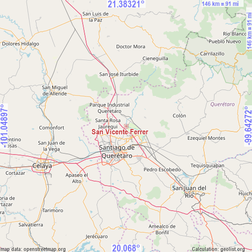
San Vicente Ferrer GPS coordinates[2]
20° 43' 37.308" North, 100° 20' 45.024" West
| Map corner | latitude | longitude |
|---|---|---|
| Upper-left | 21.38321°, | -101.04897° |
| Center: | 20.72703°, | -100.34584° |
| Lower-right: | 20.068°, | -99.64272° |
| Map W x H: | 146.2×146.2 km | = 90.8×90.8mi |
| max Lat: | 32.7° ⇑27.8% North |
| San Vicente Ferrer: | 20.72703° |
| min Lat: | ⇓72.2% South 14.53588° |
| min Long | San Vicente Fer | max Long |
| -117.105° | -100.34584° | -86.73105° |
| W 32.1%⇐ | ⇒67.9% E |
Elevation
Elevation of San Vicente Ferrer is 1951 m = 6401 ft, and this is 697.3 m = 2288 ft above average elevation for this country.
| Max E: |
3497 m = 11473 ft | 28.7% |
| San Vicente Ferrer | 1951 m 6401 ft | |
| Avg. | 1253.7 m = 4113 ft | |
Min E: |
-1 m = -3 ft | 71.3% |
See also: Mexico elevation on elevation.city.
Geographical zone
San Vicente Ferrer is located in North Torrid zone (between Equator and Tropic of Cancer). Distance of this Northern Tropic circle is 301.3 km =187.2 mi to North.| Distance of | km | miles | from San Vicente Ferrer |
|---|---|---|---|
| North Pole | 7702.4 | 4786 | to North |
| Arctic Circle | 5096.5 | 3166.8 | to North |
| Tropic Cancer | 301.3 | 187.2 | to North |
| Equator | 2304.6 | 1432 | to South |


Nearby cities:
15 places around San Vicente Ferrer: (largest is in red/bold)
• Amazcala
8.8 km =5.5 mi,  107°
107°
• Chichimequillas
4.4 km =2.7 mi,  13°
13°
• Fray Junípero Serra [Fraccionamiento]
7.9 km =4.9 mi,  198°
198°
• La Pradera
7.6 km =4.7 mi,  177°
177°
• La Solana
5.2 km =3.2 mi,  283°
283°
• Los Baños
7.8 km =4.8 mi,  25°
25°
• Los Pocitos
8.8 km =5.5 mi,  22°
22°
• Ninguno [CERESO]
6.1 km =3.8 mi,  194°
194°
• Paseos del Pedregal
8.9 km =5.5 mi,  217°
217°
• San José Buenavista
6.7 km =4.2 mi, 277°
• San José el Alto
9 km =5.6 mi, 204°
• San Rafael
6.9 km =4.3 mi,  65°
65°
• Santa Cruz
4.7 km =2.9 mi, 111°
• Santa María Begoña
3.7 km =2.3 mi,  53°
53°
• Tierra Blanca
6.9 km =4.3 mi,  329°
329°
Sources, notices
• [Note1] Compared only with cities in Mexico existing in our database
• [Src1] Map data: © OpenStreetMap contributors (CC-BY-SA)
• [Src2] Other city data from geonames.org with taken over terms of usage.
• [Src3] Geographical zone / Annual Mean Temperature by Robert A. Rohde @ Wikipedia
