Santa Teresa geodata
Santa Teresa (Jalisco) is a populated place; located in Mexico in America/Mexico_City (GMT-6) time zone. With population of 1,360 people, there are 6390 cities with bigger population in this country. Compared to other cities in Mexico, 75.1% of cities are located further ↓South; 89.7% of cities are located further →East and 55.1% of cities have higher elevation than Santa Teresa. Note1


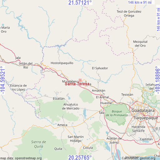
Santa Teresa GPS coordinates[2]
20° 54' 57.132" North, 103° 53' 31.488" West
| Map corner | latitude | longitude |
|---|---|---|
| Upper-left | 21.57121°, | -104.59521° |
| Center: | 20.91587°, | -103.89208° |
| Lower-right: | 20.25765°, | -103.18896° |
| Map W x H: | 146.1×146.1 km | = 90.8×90.8mi |
| max Lat: | 32.7° ⇑24.9% North |
| Santa Teresa: | 20.91587° |
| min Lat: | ⇓75.1% South 14.53588° |
| min Long | Santa Teresa | max Long |
| -117.105° | -103.89208° | -86.73105° |
| W 10.3%⇐ | ⇒89.7% E |
Elevation
Elevation of Santa Teresa is 1193 m = 3914 ft, and this is 60.7 m = 199 ft below average elevation for this country.
| Max E: |
3497 m = 11473 ft | 55.1% |
| Avg. | 1253.7 m = 4113 ft | |
| Santa Teresa | 1193 m = 3914 ft | |
Min E: |
-1 m = -3 ft | 44.9% |
See also: Mexico elevation on elevation.city.
Geographical zone
Santa Teresa is located in North Torrid zone (between Equator and Tropic of Cancer). Distance of this Northern Tropic circle is 280.3 km =174.2 mi to North.| Distance of | km | miles | from Santa Teresa |
|---|---|---|---|
| North Pole | 7681.4 | 4773 | to North |
| Arctic Circle | 5075.5 | 3153.8 | to North |
| Tropic Cancer | 280.3 | 174.2 | to North |
| Equator | 2325.6 | 1445.1 | to South |


Nearby cities:
15 places around Santa Teresa: (largest is in red/bold)
• Amatitán
19.1 km =11.9 mi,  118°
118°
• Antonio Escobedo
18.3 km =11.4 mi,  225°
225°
• El Llano de los Vela
9.7 km =6 mi,  345°
345°
• El Medineño
12.9 km =8 mi,  114°
114°
• La Estancia de Ayones
20.6 km =12.8 mi,  259°
259°
• La Joya
11.8 km =7.3 mi, 228°
• La Mazata
20.8 km =12.9 mi, 258°
• La Quemada
17.4 km =10.8 mi,  290°
290°
• Magdalena
9 km =5.6 mi, 263°
• San Andrés
20.4 km =12.7 mi,  272°
272°
• San Juanito de Escobedo
17.7 km =11 mi,  220°
220°
• San Martín de las Cañas
4.9 km =3 mi,  47°
47°
• San Pedro
20.7 km =12.9 mi,  238°
238°
• San Simón
14.8 km =9.2 mi,  303°
303°
• Tequila
6.9 km =4.3 mi, 122°
Sources, notices
• [Note1] Compared only with cities in Mexico existing in our database
• [Src1] Map data: © OpenStreetMap contributors (CC-BY-SA)
• [Src2] Other city data from geonames.org with taken over terms of usage.
• [Src3] Geographical zone / Annual Mean Temperature by Robert A. Rohde @ Wikipedia
