San Lorenzo geodata
San Lorenzo (Chihuahua) is a populated place; located in Mexico in America/Chihuahua (GMT-6) time zone. With population of 806 people, there are 10834 cities with bigger population in this country. Compared to other cities in Mexico, 98.4% of cities are located further ↓South; 94.5% of cities are located further →East and 54.1% of cities have lower elevation than San Lorenzo. Note1


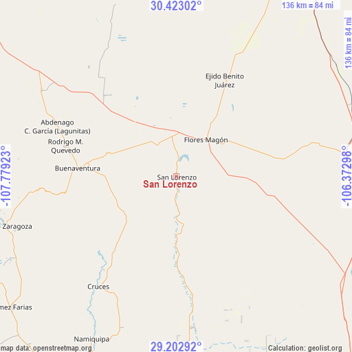
San Lorenzo GPS coordinates[2]
29° 48' 53.388" North, 107° 4' 33.96" West
| Map corner | latitude | longitude |
|---|---|---|
| Upper-left | 30.42302°, | -107.77923° |
| Center: | 29.81483°, | -107.0761° |
| Lower-right: | 29.20292°, | -106.37298° |
| Map W x H: | 135.7×135.7 km | = 84.3×84.3mi |
| max Lat: | 32.7° ⇑1.6% North |
| San Lorenzo: | 29.81483° |
| min Lat: | ⇓98.4% South 14.53588° |
| min Long | San Lorenzo | max Long |
| -117.105° | -107.0761° | -86.73105° |
| W 5.5%⇐ | ⇒94.5% E |
Elevation
Elevation of San Lorenzo is 1565 m = 5135 ft, and this is 311.3 m = 1021 ft above average elevation for this country.
| Max E: |
3497 m = 11473 ft | 45.9% |
| San Lorenzo | 1565 m 5135 ft | |
| Avg. | 1253.7 m = 4113 ft | |
Min E: |
-1 m = -3 ft | 54.1% |
See also: Mexico elevation on elevation.city.
Geographical zone
San Lorenzo is located in North temperate zone (between Tropic of Cancer and the Arctic Circle). Distance of this Northern Tropic circle is 709.2 km =440.7 mi to South.| Distance of | km | miles | from San Lorenzo |
|---|---|---|---|
| North Pole | 6692 | 4158.2 | to North |
| Arctic Circle | 4086.1 | 2539 | to North |
| Tropic Cancer | 709.2 | 440.7 | to South |
| Equator | 3315.1 | 2059.9 | to South |


Nearby cities:
15 places around San Lorenzo: (largest is in red/bold)
• Abdenago C. García
49.8 km =30.9 mi,  292°
292°
• Benito Juárez
73 km =45.4 mi,  170°
170°
• Colonia el Valle
40.2 km =25 mi,  321°
321°
• Ejido Benito Juárez
41.6 km =25.8 mi,  26°
26°
• Francisco I. Madero
71.4 km =44.4 mi,  260°
260°
• Galeana
61.8 km =38.4 mi,  302°
302°
• Hermenegildo Galeana
61.7 km =38.3 mi, 302°
• Ignacio Allende
67.3 km =41.8 mi,  248°
248°
• Ignacio Zaragoza
69.1 km =42.9 mi, 253°
• La Constitución
29.4 km =18.3 mi,  66°
66°
• Las Cruces
52.2 km =32.4 mi,  215°
215°
• Namiquipa
70.6 km =43.9 mi,  207°
207°
• Rodrígo M. Quevedo
44.4 km =27.6 mi, 285°
• San Buenaventura
37.2 km =23.1 mi,  274°
274°
• Santa Catalina de Villela
71.2 km =44.2 mi, 171°
Sources, notices
• [Note1] Compared only with cities in Mexico existing in our database
• [Src1] Map data: © OpenStreetMap contributors (CC-BY-SA)
• [Src2] Other city data from geonames.org with taken over terms of usage.
• [Src3] Geographical zone / Annual Mean Temperature by Robert A. Rohde @ Wikipedia
