Tepuxtepec geodata
Tepuxtepec (Michoacán) is a populated place; located in Mexico in America/Mexico_City (GMT-6) time zone. With population of 1,836 people, there are 4733 cities with bigger population in this country. Compared to other cities in Mexico, 56.8% of cities are located further ↓South; 66.7% of cities are located further →East and 88.9% of cities have lower elevation than Tepuxtepec. Note1


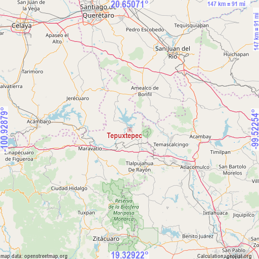
Tepuxtepec GPS coordinates[2]
19° 59' 28.86" North, 100° 13' 32.376" West
| Map corner | latitude | longitude |
|---|---|---|
| Upper-left | 20.65071°, | -100.92879° |
| Center: | 19.99135°, | -100.22566° |
| Lower-right: | 19.32922°, | -99.52254° |
| Map W x H: | 146.9×146.9 km | = 91.3×91.3mi |
| max Lat: | 32.7° ⇑43.2% North |
| Tepuxtepec: | 19.99135° |
| min Lat: | ⇓56.8% South 14.53588° |
| min Long | Tepuxtepec | max Long |
| -117.105° | -100.22566° | -86.73105° |
| W 33.3%⇐ | ⇒66.7% E |
Elevation
Elevation of Tepuxtepec is 2369 m = 7772 ft, and this is 1115.3 m = 3659 ft above average elevation for this country.
| Max E: |
3497 m = 11473 ft | 11.1% |
| Tepuxtepec | 2369 m 7772 ft | |
| Avg. | 1253.7 m = 4113 ft | |
Min E: |
-1 m = -3 ft | 88.9% |
See also: Mexico elevation on elevation.city.
Geographical zone
Tepuxtepec is located in North Torrid zone (between Equator and Tropic of Cancer). Distance of this Northern Tropic circle is 383.1 km =238 mi to North.| Distance of | km | miles | from Tepuxtepec |
|---|---|---|---|
| North Pole | 7784.2 | 4836.9 | to North |
| Arctic Circle | 5178.3 | 3217.6 | to North |
| Tropic Cancer | 383.1 | 238 | to North |
| Equator | 2222.8 | 1381.2 | to South |


Nearby cities:
15 places around Tepuxtepec: (largest is in red/bold)
• Agua Caliente
11.6 km =7.2 mi,  151°
151°
• Atotonilco
5.6 km =3.5 mi,  177°
177°
• Buenavista
8.7 km =5.4 mi, 182°
• Chitejé de Garabato
12.8 km =8 mi,  17°
17°
• Contepec
7.7 km =4.8 mi,  122°
122°
• Dolores
12.7 km =7.9 mi,  307°
307°
• El Encino
10.6 km =6.6 mi, 145°
• El Tejocote (La Loma)
10.3 km =6.4 mi,  53°
53°
• El Varal
14.1 km =8.8 mi, 16°
• La Higuerilla (Los Lirios)
9.3 km =5.8 mi,  214°
214°
• Llano Largo (Santa Rosa de Lima)
5.3 km =3.3 mi, 47°
• San Antonio Molinos
9.4 km =5.8 mi,  6°
6°
• San Ramón
10.7 km =6.6 mi,  198°
198°
• Temascales (El Jacal)
9.1 km =5.7 mi,  39°
39°
• Tepetongo
13.3 km =8.3 mi,  133°
133°
Sources, notices
• [Note1] Compared only with cities in Mexico existing in our database
• [Src1] Map data: © OpenStreetMap contributors (CC-BY-SA)
• [Src2] Other city data from geonames.org with taken over terms of usage.
• [Src3] Geographical zone / Annual Mean Temperature by Robert A. Rohde @ Wikipedia
