La Merced geodata
La Merced (Guanajuato) is a populated place; located in Mexico in America/Mexico_City (GMT-6) time zone. With population of 582 people, there are 14734 cities with bigger population in this country. Compared to other cities in Mexico, 57.6% of cities are located further ↓South; 72% of cities are located further →East and 68.9% of cities have lower elevation than La Merced. Note1


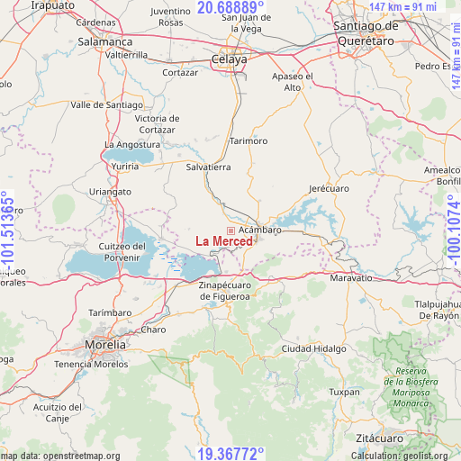
La Merced GPS coordinates[2]
20° 1' 46.884" North, 100° 48' 37.872" West
| Map corner | latitude | longitude |
|---|---|---|
| Upper-left | 20.68889°, | -101.51365° |
| Center: | 20.02969°, | -100.81052° |
| Lower-right: | 19.36772°, | -100.1074° |
| Map W x H: | 146.9×146.9 km | = 91.3×91.3mi |
| max Lat: | 32.7° ⇑42.4% North |
| La Merced: | 20.02969° |
| min Lat: | ⇓57.6% South 14.53588° |
| min Long | La Merced | max Long |
| -117.105° | -100.81052° | -86.73105° |
| W 28%⇐ | ⇒72% E |
Elevation
Elevation of La Merced is 1905 m = 6250 ft, and this is 651.3 m = 2137 ft above average elevation for this country.
| Max E: |
3497 m = 11473 ft | 31.1% |
| La Merced | 1905 m 6250 ft | |
| Avg. | 1253.7 m = 4113 ft | |
Min E: |
-1 m = -3 ft | 68.9% |
See also: Mexico elevation on elevation.city.
Geographical zone
La Merced is located in North Torrid zone (between Equator and Tropic of Cancer). Distance of this Northern Tropic circle is 378.8 km =235.4 mi to North.| Distance of | km | miles | from La Merced |
|---|---|---|---|
| North Pole | 7780 | 4834.3 | to North |
| Arctic Circle | 5174.1 | 3215 | to North |
| Tropic Cancer | 378.8 | 235.4 | to North |
| Equator | 2227.1 | 1383.9 | to South |


Nearby cities:
15 places around La Merced: (largest is in red/bold)
• Acámbaro
9.3 km =5.8 mi,  89°
89°
• Andocutín
10 km =6.2 mi,  215°
215°
• Araró
13.2 km =8.2 mi,  186°
186°
• Chamácuaro
8.5 km =5.3 mi,  347°
347°
• Jaral del Refugio
13.3 km =8.3 mi,  44°
44°
• Las Jícamas
5.1 km =3.2 mi,  317°
317°
• Los Desmontes
11 km =6.8 mi,  137°
137°
• Monte Prieto
6.8 km =4.2 mi,  25°
25°
• Obrajuelo
9.6 km =6 mi,  334°
334°
• Parácuaro
13.6 km =8.5 mi,  21°
21°
• San Diego de Alcalá
5.5 km =3.4 mi,  271°
271°
• San Juan Jaripeo
5.8 km =3.6 mi,  116°
116°
• San Juan Viejo
9.6 km =6 mi, 41°
• San Pablo Pejo
13.3 km =8.3 mi, 271°
• Solís
13.9 km =8.6 mi,  80°
80°
Sources, notices
• [Note1] Compared only with cities in Mexico existing in our database
• [Src1] Map data: © OpenStreetMap contributors (CC-BY-SA)
• [Src2] Other city data from geonames.org with taken over terms of usage.
• [Src3] Geographical zone / Annual Mean Temperature by Robert A. Rohde @ Wikipedia
