Jaral del Refugio geodata
Jaral del Refugio (Guanajuato) is a populated place; located in Mexico in America/Mexico_City (GMT-6) time zone. With population of 724 people, there are 12063 cities with bigger population in this country. Compared to other cities in Mexico, 59.5% of cities are located further ↓South; 71.2% of cities are located further →East and 67.8% of cities have lower elevation than Jaral del Refugio. Note1


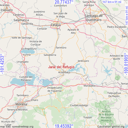
Jaral del Refugio GPS coordinates[2]
20° 6' 55.944" North, 100° 43' 19.812" West
| Map corner | latitude | longitude |
|---|---|---|
| Upper-left | 20.77437°, | -101.4253° |
| Center: | 20.11554°, | -100.72217° |
| Lower-right: | 19.45392°, | -100.01905° |
| Map W x H: | 146.8×146.8 km | = 91.2×91.2mi |
| max Lat: | 32.7° ⇑40.5% North |
| Jaral del Refugio: | 20.11554° |
| min Lat: | ⇓59.5% South 14.53588° |
| min Long | Jaral del Refug | max Long |
| -117.105° | -100.72217° | -86.73105° |
| W 28.8%⇐ | ⇒71.2% E |
Elevation
Elevation of Jaral del Refugio is 1886 m = 6188 ft, and this is 632.3 m = 2074 ft above average elevation for this country.
| Max E: |
3497 m = 11473 ft | 32.2% |
| Jaral del Refugio | 1886 m 6188 ft | |
| Avg. | 1253.7 m = 4113 ft | |
Min E: |
-1 m = -3 ft | 67.8% |
See also: Mexico elevation on elevation.city.
Geographical zone
Jaral del Refugio is located in North Torrid zone (between Equator and Tropic of Cancer). Distance of this Northern Tropic circle is 369.3 km =229.5 mi to North.| Distance of | km | miles | from Jaral del Refugio |
|---|---|---|---|
| North Pole | 7770.4 | 4828.3 | to North |
| Arctic Circle | 5164.5 | 3209.1 | to North |
| Tropic Cancer | 369.3 | 229.5 | to North |
| Equator | 2236.6 | 1389.8 | to South |


Nearby cities:
15 places around Jaral del Refugio: (largest is in red/bold)
• Acámbaro
9.4 km =5.8 mi,  179°
179°
• Agua Caliente
9.7 km =6 mi,  149°
149°
• Chamácuaro
11.1 km =6.9 mi,  263°
263°
• El Maguey
4 km =2.5 mi,  111°
111°
• Gaytán del Refugio
6.8 km =4.2 mi,  57°
57°
• La Concepción
7.1 km =4.4 mi,  345°
345°
• La Encarnación
10.2 km =6.3 mi,  117°
117°
• La Esperanza
11.2 km =7 mi, 354°
• Los Fierros
9.5 km =5.9 mi,  335°
335°
• Monte Prieto
7.1 km =4.4 mi,  241°
241°
• Parácuaro
5.3 km =3.3 mi,  306°
306°
• San Cayetano
7.7 km =4.8 mi, 121°
• San Juan Viejo
3.7 km =2.3 mi,  230°
230°
• Santiaguillo
8.3 km =5.2 mi,  93°
93°
• Solís
8.5 km =5.3 mi, 147°
Sources, notices
• [Note1] Compared only with cities in Mexico existing in our database
• [Src1] Map data: © OpenStreetMap contributors (CC-BY-SA)
• [Src2] Other city data from geonames.org with taken over terms of usage.
• [Src3] Geographical zone / Annual Mean Temperature by Robert A. Rohde @ Wikipedia
