Jalpilla geodata
Jalpilla (Guanajuato) is a populated place; located in Mexico in America/Mexico_City (GMT-6) time zone. With population of 2,065 people, there are 4226 cities with bigger population in this country. Compared to other cities in Mexico, 72.3% of cities are located further ↓South; 71.2% of cities are located further →East and 64.8% of cities have lower elevation than Jalpilla. Note1


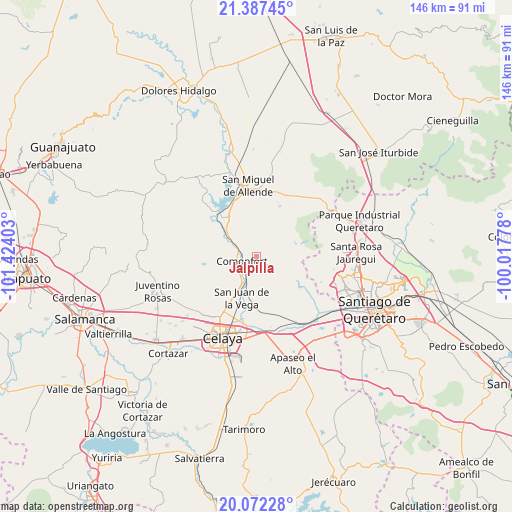
Jalpilla GPS coordinates[2]
20° 43' 52.644" North, 100° 43' 15.24" West
| Map corner | latitude | longitude |
|---|---|---|
| Upper-left | 21.38745°, | -101.42403° |
| Center: | 20.73129°, | -100.7209° |
| Lower-right: | 20.07228°, | -100.01778° |
| Map W x H: | 146.2×146.2 km | = 90.8×90.8mi |
| max Lat: | 32.7° ⇑27.7% North |
| Jalpilla: | 20.73129° |
| min Lat: | ⇓72.3% South 14.53588° |
| min Long | Jalpilla | max Long |
| -117.105° | -100.7209° | -86.73105° |
| W 28.8%⇐ | ⇒71.2% E |
Elevation
Elevation of Jalpilla is 1823 m = 5981 ft, and this is 569.3 m = 1868 ft above average elevation for this country.
| Max E: |
3497 m = 11473 ft | 35.2% |
| Jalpilla | 1823 m 5981 ft | |
| Avg. | 1253.7 m = 4113 ft | |
Min E: |
-1 m = -3 ft | 64.8% |
See also: Mexico elevation on elevation.city.
Geographical zone
Jalpilla is located in North Torrid zone (between Equator and Tropic of Cancer). Distance of this Northern Tropic circle is 300.8 km =186.9 mi to North.| Distance of | km | miles | from Jalpilla |
|---|---|---|---|
| North Pole | 7702 | 4785.8 | to North |
| Arctic Circle | 5096.1 | 3166.6 | to North |
| Tropic Cancer | 300.8 | 186.9 | to North |
| Equator | 2305.1 | 1432.3 | to South |


Nearby cities:
15 places around Jalpilla: (largest is in red/bold)
• Comonfort
4.1 km =2.5 mi,  256°
256°
• El Picacho
9 km =5.6 mi,  105°
105°
• Empalme Escobedo
7.1 km =4.4 mi,  202°
202°
• Galvanes
9.2 km =5.7 mi,  172°
172°
• Guadalupe
9 km =5.6 mi, 198°
• La Borunda
5.3 km =3.3 mi,  91°
91°
• La Laguna
7.8 km =4.8 mi,  247°
247°
• Las Gallinas
2.4 km =1.5 mi,  29°
29°
• Las Trojas
6.6 km =4.1 mi, 250°
• Morales
10.6 km =6.6 mi,  299°
299°
• Ojo de Agua del Potrero
7.7 km =4.8 mi,  50°
50°
• Orduña de Abajo
7.1 km =4.4 mi,  294°
294°
• Orduña de Arriba
8.4 km =5.2 mi, 297°
• Rinconcillo (Rinconcillo de los Remedios)
10.8 km =6.7 mi,  306°
306°
• San Isidro (La Loma)
6.5 km =4 mi,  240°
240°
Sources, notices
• [Note1] Compared only with cities in Mexico existing in our database
• [Src1] Map data: © OpenStreetMap contributors (CC-BY-SA)
• [Src2] Other city data from geonames.org with taken over terms of usage.
• [Src3] Geographical zone / Annual Mean Temperature by Robert A. Rohde @ Wikipedia
