Galomo geodata
Galomo (Guanajuato) is a populated place; located in Mexico in America/Mexico_City (GMT-6) time zone. With population of 855 people, there are 10232 cities with bigger population in this country. Compared to other cities in Mexico, 77.3% of cities are located further ↓South; 68.8% of cities are located further →East and 76% of cities have lower elevation than Galomo. Note1


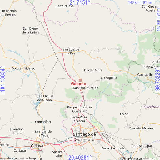
Galomo GPS coordinates[2]
21° 3' 37.44" North, 100° 26' 7.476" West
| Map corner | latitude | longitude |
|---|---|---|
| Upper-left | 21.7151°, | -101.13854° |
| Center: | 21.0604°, | -100.43541° |
| Lower-right: | 20.40281°, | -99.73229° |
| Map W x H: | 145.9×145.9 km | = 90.7×90.7mi |
| max Lat: | 32.7° ⇑22.7% North |
| Galomo: | 21.0604° |
| min Lat: | ⇓77.3% South 14.53588° |
| min Long | Galomo | max Long |
| -117.105° | -100.43541° | -86.73105° |
| W 31.2%⇐ | ⇒68.8% E |
Elevation
Elevation of Galomo is 2048 m = 6719 ft, and this is 794.3 m = 2606 ft above average elevation for this country.
| Max E: |
3497 m = 11473 ft | 24% |
| Galomo | 2048 m 6719 ft | |
| Avg. | 1253.7 m = 4113 ft | |
Min E: |
-1 m = -3 ft | 76% |
See also: Mexico elevation on elevation.city.
Geographical zone
Galomo is located in North Torrid zone (between Equator and Tropic of Cancer). Distance of this Northern Tropic circle is 264.2 km =164.2 mi to North.| Distance of | km | miles | from Galomo |
|---|---|---|---|
| North Pole | 7665.4 | 4763.1 | to North |
| Arctic Circle | 5059.5 | 3143.8 | to North |
| Tropic Cancer | 264.2 | 164.2 | to North |
| Equator | 2341.7 | 1455.1 | to South |


Nearby cities:
15 places around Galomo: (largest is in red/bold)
• Cinco de Mayo
5.2 km =3.2 mi,  157°
157°
• Derramadero Segundo (Infiernillo)
9.2 km =5.7 mi,  296°
296°
• El Pinito
7.9 km =4.9 mi,  149°
149°
• La Huerta
8.8 km =5.5 mi, 160°
• La Laguna
7 km =4.3 mi,  338°
338°
• La Noria
8.4 km =5.2 mi,  39°
39°
• La Reforma
4.7 km =2.9 mi,  100°
100°
• La Yerbabuena
9.1 km =5.7 mi,  109°
109°
• Las Adjuntas
2.3 km =1.4 mi,  89°
89°
• Prados del Rosario
6.2 km =3.9 mi,  133°
133°
• Pueblo Nuevo
5.2 km =3.2 mi,  34°
34°
• San José Iturbide
8.4 km =5.2 mi,  140°
140°
• San Sebastián de Salitre
6.7 km =4.2 mi,  314°
314°
• Tulillos de Abajo
5.8 km =3.6 mi, 299°
• Tulillos de Arriba
3.7 km =2.3 mi,  288°
288°
Sources, notices
• [Note1] Compared only with cities in Mexico existing in our database
• [Src1] Map data: © OpenStreetMap contributors (CC-BY-SA)
• [Src2] Other city data from geonames.org with taken over terms of usage.
• [Src3] Geographical zone / Annual Mean Temperature by Robert A. Rohde @ Wikipedia
