El Burrión geodata
El Burrión (Sinaloa) is a populated place; located in Mexico in America/Mazatlan (GMT-7) time zone. With population of 3,942 people, there are 2312 cities with bigger population in this country. Compared to other cities in Mexico, 92.9% of cities are located further ↓South; 96.1% of cities are located further →East and 93% of cities have higher elevation than El Burrión. Note1


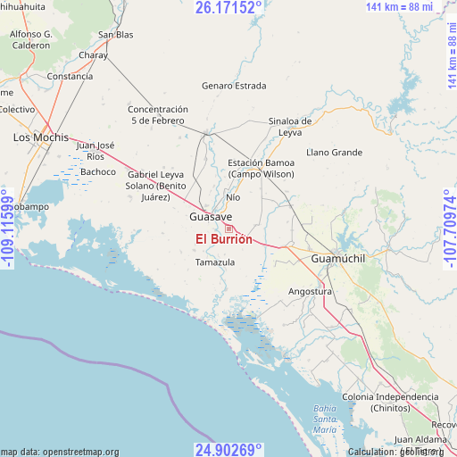
El Burrión GPS coordinates[2]
25° 32' 19.608" North, 108° 24' 46.296" West
| Map corner | latitude | longitude |
|---|---|---|
| Upper-left | 26.17152°, | -109.11599° |
| Center: | 25.53878°, | -108.41286° |
| Lower-right: | 24.90269°, | -107.70974° |
| Map W x H: | 141.1×141.1 km | = 87.7×87.7mi |
| max Lat: | 32.7° ⇑7.1% North |
| El Burrión: | 25.53878° |
| min Lat: | ⇓92.9% South 14.53588° |
| min Long | El Burrión | max Long |
| -117.105° | -108.41286° | -86.73105° |
| W 3.9%⇐ | ⇒96.1% E |
Elevation
Elevation of El Burrión is 17 m = 56 ft, and this is 1236.7 m = 4057 ft below average elevation for this country.
| Max E: |
3497 m = 11473 ft | 93% |
| Avg. | 1253.7 m = 4113 ft | |
| El Burrión | 17 m = 56 ft | |
Min E: |
-1 m = -3 ft | 7% |
See also: Mexico elevation on elevation.city.
Geographical zone
El Burrión is located in North temperate zone (between Tropic of Cancer and the Arctic Circle). Distance of this Northern Tropic circle is 233.7 km =145.2 mi to South.| Distance of | km | miles | from El Burrión |
|---|---|---|---|
| North Pole | 7167.4 | 4453.6 | to North |
| Arctic Circle | 4561.5 | 2834.4 | to North |
| Tropic Cancer | 233.7 | 145.2 | to South |
| Equator | 2839.6 | 1764.4 | to South |


Nearby cities:
15 places around El Burrión: (largest is in red/bold)
• Caimanero
8 km =5 mi,  338°
338°
• Chorohui
5.5 km =3.4 mi,  243°
243°
• El Cuitabón
9.2 km =5.7 mi,  346°
346°
• Guasave
6.3 km =3.9 mi,  300°
300°
• Guasavito
2.7 km =1.7 mi,  305°
305°
• Javier Rojo Gómez
6 km =3.7 mi,  144°
144°
• Ladrilleras de Ocoro
7.5 km =4.7 mi,  330°
330°
• Las Crucecitas
5.3 km =3.3 mi, 331°
• Pitahayal
8.8 km =5.5 mi,  149°
149°
• Pueblo Viejo
8.4 km =5.2 mi,  357°
357°
• Ranchito de Castro
5.4 km =3.4 mi, 354°
• San Gabriel
6.3 km =3.9 mi,  260°
260°
• San Pedro Guasave
4.4 km =2.7 mi,  269°
269°
• San Pedro Paredes
2.8 km =1.7 mi, 255°
• Vicente Guerrero
7.7 km =4.8 mi, 145°
Sources, notices
• [Note1] Compared only with cities in Mexico existing in our database
• [Src1] Map data: © OpenStreetMap contributors (CC-BY-SA)
• [Src2] Other city data from geonames.org with taken over terms of usage.
• [Src3] Geographical zone / Annual Mean Temperature by Robert A. Rohde @ Wikipedia
