El Barril geodata
El Barril (San Luis Potosí) is a populated place; located in Mexico in America/Mexico_City (GMT-6) time zone. With population of 4,620 people, there are 1991 cities with bigger population in this country. Compared to other cities in Mexico, 88.1% of cities are located further ↓South; 81.8% of cities are located further →East and 72.1% of cities have lower elevation than El Barril. Note1


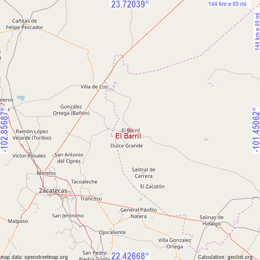
El Barril GPS coordinates[2]
23° 4' 30.324" North, 102° 9' 13.464" West
| Map corner | latitude | longitude |
|---|---|---|
| Upper-left | 23.72039°, | -102.85687° |
| Center: | 23.07509°, | -102.15374° |
| Lower-right: | 22.42668°, | -101.45062° |
| Map W x H: | 143.8×143.8 km | = 89.4×89.4mi |
| max Lat: | 32.7° ⇑11.9% North |
| El Barril: | 23.07509° |
| min Lat: | ⇓88.1% South 14.53588° |
| min Long | El Barril | max Long |
| -117.105° | -102.15374° | -86.73105° |
| W 18.2%⇐ | ⇒81.8% E |
Elevation
Elevation of El Barril is 1969 m = 6460 ft, and this is 715.3 m = 2347 ft above average elevation for this country.
| Max E: |
3497 m = 11473 ft | 27.9% |
| El Barril | 1969 m 6460 ft | |
| Avg. | 1253.7 m = 4113 ft | |
Min E: |
-1 m = -3 ft | 72.1% |
See also: Mexico elevation on elevation.city.
Geographical zone
El Barril is located in North Torrid zone (between Equator and Tropic of Cancer). Distance of this Northern Tropic circle is 40.2 km =25 mi to North.| Distance of | km | miles | from El Barril |
|---|---|---|---|
| North Pole | 7441.4 | 4623.9 | to North |
| Arctic Circle | 4835.5 | 3004.6 | to North |
| Tropic Cancer | 40.2 | 25 | to North |
| Equator | 2565.7 | 1594.3 | to South |


Nearby cities:
15 places around El Barril: (largest is in red/bold)
• Casa Blanca
26.4 km =16.4 mi,  216°
216°
• Chaparrosa
12.7 km =7.9 mi,  274°
274°
• Chupaderos
19.9 km =12.4 mi,  297°
297°
• Dulce Grande
8.4 km =5.2 mi,  194°
194°
• Hernández
12.8 km =8 mi,  111°
111°
• Illescas
18.4 km =11.4 mi,  2°
2°
• Jesús María
9.7 km =6 mi,  335°
335°
• La Dulcita
28.6 km =17.8 mi,  140°
140°
• La Luz
27 km =16.8 mi, 216°
• Los Zacatones
16.1 km =10 mi, 141°
• Providencia
17.9 km =11.1 mi,  55°
55°
• Salitral de Carrera
24.3 km =15.1 mi,  162°
162°
• San Francisco
24.2 km =15 mi, 109°
• San Juan
24.4 km =15.2 mi,  253°
253°
• Sauz de Calera
23.4 km =14.5 mi, 188°
Sources, notices
• [Note1] Compared only with cities in Mexico existing in our database
• [Src1] Map data: © OpenStreetMap contributors (CC-BY-SA)
• [Src2] Other city data from geonames.org with taken over terms of usage.
• [Src3] Geographical zone / Annual Mean Temperature by Robert A. Rohde @ Wikipedia
