Cañada de Caracheo geodata
Cañada de Caracheo (Guanajuato) is a populated place; located in Mexico in America/Mexico_City (GMT-6) time zone. With population of 2,109 people, there are 4142 cities with bigger population in this country. Compared to other cities in Mexico, 65.1% of cities are located further ↓South; 73% of cities are located further →East and 63.9% of cities have lower elevation than Cañada de Caracheo. Note1


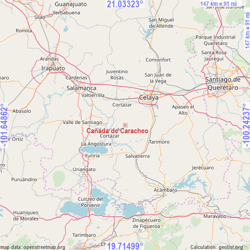
Cañada de Caracheo GPS coordinates[2]
20° 22' 31.872" North, 100° 56' 43.764" West
| Map corner | latitude | longitude |
|---|---|---|
| Upper-left | 21.03323°, | -101.64862° |
| Center: | 20.37552°, | -100.94549° |
| Lower-right: | 19.71499°, | -100.24237° |
| Map W x H: | 146.6×146.6 km | = 91.1×91.1mi |
| max Lat: | 32.7° ⇑34.9% North |
| Cañada de Caracheo: | 20.37552° |
| min Lat: | ⇓65.1% South 14.53588° |
| min Long | Cañada de Cara | max Long |
| -117.105° | -100.94549° | -86.73105° |
| W 27%⇐ | ⇒73% E |
Elevation
Elevation of Cañada de Caracheo is 1799 m = 5902 ft, and this is 545.3 m = 1789 ft above average elevation for this country.
| Max E: |
3497 m = 11473 ft | 36.1% |
| Cañada de Caracheo | 1799 m 5902 ft | |
| Avg. | 1253.7 m = 4113 ft | |
Min E: |
-1 m = -3 ft | 63.9% |
See also: Mexico elevation on elevation.city.
Geographical zone
Cañada de Caracheo is located in North Torrid zone (between Equator and Tropic of Cancer). Distance of this Northern Tropic circle is 340.4 km =211.5 mi to North.| Distance of | km | miles | from Cañada de Caracheo |
|---|---|---|---|
| North Pole | 7741.5 | 4810.3 | to North |
| Arctic Circle | 5135.6 | 3191.1 | to North |
| Tropic Cancer | 340.4 | 211.5 | to North |
| Equator | 2265.5 | 1407.7 | to South |


Nearby cities:
15 places around Cañada de Caracheo: (largest is in red/bold)
• El Diezmo
9.5 km =5.9 mi,  309°
309°
• El Huizache
5.1 km =3.2 mi,  343°
343°
• El Zapote
6.1 km =3.8 mi,  15°
15°
• La Gavia
7 km =4.3 mi,  72°
72°
• La Luz
10.1 km =6.3 mi,  163°
163°
• La Mocha
6.5 km =4 mi,  301°
301°
• La Quemada
10.8 km =6.7 mi,  174°
174°
• Providencia
8 km =5 mi,  252°
252°
• Rancho de Guadalupe
10.8 km =6.7 mi,  183°
183°
• San Isidro Culiacán
5.5 km =3.4 mi,  258°
258°
• San José de Ojo Zarco
9.9 km =6.2 mi,  234°
234°
• San Nicolás de Manantiales
3 km =1.9 mi,  319°
319°
• Santiago Capitiro
10.9 km =6.8 mi,  223°
223°
• Valencia de Fuentes
7.9 km =4.9 mi, 344°
• Victoria de Cortazar
10.1 km =6.3 mi,  243°
243°
Sources, notices
• [Note1] Compared only with cities in Mexico existing in our database
• [Src1] Map data: © OpenStreetMap contributors (CC-BY-SA)
• [Src2] Other city data from geonames.org with taken over terms of usage.
• [Src3] Geographical zone / Annual Mean Temperature by Robert A. Rohde @ Wikipedia
