Los Díaz geodata
Los Díaz (Guanajuato) is a populated place; located in Mexico in America/Mexico_City (GMT-6) time zone. With population of 696 people, there are 12503 cities with bigger population in this country. Compared to other cities in Mexico, 81.3% of cities are located further ↓South; 74.9% of cities are located further →East and 77% of cities have lower elevation than Los Díaz. Note1


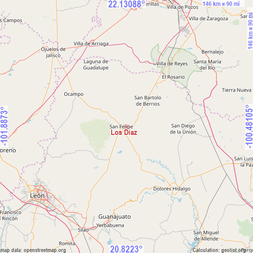
Los Díaz GPS coordinates[2]
21° 28' 41.016" North, 101° 11' 3.012" West
| Map corner | latitude | longitude |
|---|---|---|
| Upper-left | 22.13088°, | -101.8873° |
| Center: | 21.47806°, | -101.18417° |
| Lower-right: | 20.8223°, | -100.48105° |
| Map W x H: | 145.5×145.5 km | = 90.4×90.4mi |
| max Lat: | 32.7° ⇑18.7% North |
| Los Díaz: | 21.47806° |
| min Lat: | ⇓81.3% South 14.53588° |
| min Long | Los Díaz | max Long |
| -117.105° | -101.18417° | -86.73105° |
| W 25.1%⇐ | ⇒74.9% E |
Elevation
Elevation of Los Díaz is 2069 m = 6788 ft, and this is 815.3 m = 2675 ft above average elevation for this country.
| Max E: |
3497 m = 11473 ft | 23% |
| Los Díaz | 2069 m 6788 ft | |
| Avg. | 1253.7 m = 4113 ft | |
Min E: |
-1 m = -3 ft | 77% |
See also: Mexico elevation on elevation.city.
Geographical zone
Los Díaz is located in North Torrid zone (between Equator and Tropic of Cancer). Distance of this Northern Tropic circle is 217.8 km =135.3 mi to North.| Distance of | km | miles | from Los Díaz |
|---|---|---|---|
| North Pole | 7618.9 | 4734.2 | to North |
| Arctic Circle | 5013 | 3114.9 | to North |
| Tropic Cancer | 217.8 | 135.3 | to North |
| Equator | 2388.1 | 1483.9 | to South |


Nearby cities:
15 places around Los Díaz: (largest is in red/bold)
• Chirimoya (Estación Chirimoya)
16 km =9.9 mi,  36°
36°
• Chirimoya Vieja
12.5 km =7.8 mi,  45°
45°
• Ejido Hernández Álvarez
4.3 km =2.7 mi,  307°
307°
• El Aposento
8.4 km =5.2 mi,  171°
171°
• El Huizache
12.4 km =7.7 mi,  14°
14°
• La Estancia del Cubo
12.6 km =7.8 mi,  142°
142°
• La Huerta
6.1 km =3.8 mi,  187°
187°
• La Sauceda de la Luz
15.1 km =9.4 mi,  357°
357°
• Molino de San José
13.2 km =8.2 mi,  321°
321°
• Puerto de Sandoval
8.9 km =5.5 mi,  57°
57°
• San Andrés del Cubo
7 km =4.3 mi,  119°
119°
• San Bartolo de Berrios
19.1 km =11.9 mi, 38°
• San Felipe
3.3 km =2.1 mi,  270°
270°
• Santa Catarina
13.9 km =8.6 mi, 59°
• Santa Rosa
12.6 km =7.8 mi, 49°
Sources, notices
• [Note1] Compared only with cities in Mexico existing in our database
• [Src1] Map data: © OpenStreetMap contributors (CC-BY-SA)
• [Src2] Other city data from geonames.org with taken over terms of usage.
• [Src3] Geographical zone / Annual Mean Temperature by Robert A. Rohde @ Wikipedia
