Estancia del Llano geodata
Estancia del Llano (Guanajuato) is a populated place; located in Mexico in America/Mexico_City (GMT-6) time zone. With population of 1,863 people, there are 4658 cities with bigger population in this country. Compared to other cities in Mexico, 68% of cities are located further ↓South; 71.3% of cities are located further →East and 62.4% of cities have lower elevation than Estancia del Llano. Note1


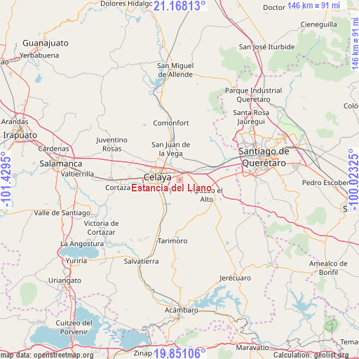
Estancia del Llano GPS coordinates[2]
20° 30' 39.636" North, 100° 43' 34.932" West
| Map corner | latitude | longitude |
|---|---|---|
| Upper-left | 21.16813°, | -101.4295° |
| Center: | 20.51101°, | -100.72637° |
| Lower-right: | 19.85106°, | -100.02325° |
| Map W x H: | 146.4×146.4 km | = 91×91mi |
| max Lat: | 32.7° ⇑32% North |
| Estancia del Llano: | 20.51101° |
| min Lat: | ⇓68% South 14.53588° |
| min Long | Estancia del Ll | max Long |
| -117.105° | -100.72637° | -86.73105° |
| W 28.7%⇐ | ⇒71.3% E |
Elevation
Elevation of Estancia del Llano is 1766 m = 5794 ft, and this is 512.3 m = 1681 ft above average elevation for this country.
| Max E: |
3497 m = 11473 ft | 37.6% |
| Estancia del Llano | 1766 m 5794 ft | |
| Avg. | 1253.7 m = 4113 ft | |
Min E: |
-1 m = -3 ft | 62.4% |
See also: Mexico elevation on elevation.city.
Geographical zone
Estancia del Llano is located in North Torrid zone (between Equator and Tropic of Cancer). Distance of this Northern Tropic circle is 325.3 km =202.1 mi to North.| Distance of | km | miles | from Estancia del Llano |
|---|---|---|---|
| North Pole | 7726.5 | 4801 | to North |
| Arctic Circle | 5120.6 | 3181.8 | to North |
| Tropic Cancer | 325.3 | 202.1 | to North |
| Equator | 2280.6 | 1417.1 | to South |


Nearby cities:
15 places around Estancia del Llano: (largest is in red/bold)
• Apaseo el Grande
5.8 km =3.6 mi,  49°
49°
• Colonia Luis Donaldo Colosio
7.4 km =4.6 mi,  326°
326°
• Congregación de la Cruz
7.1 km =4.4 mi,  145°
145°
• Juan Martín
4.7 km =2.9 mi,  206°
206°
• La Labor
3.6 km =2.2 mi,  44°
44°
• La Laja
4.2 km =2.6 mi,  299°
299°
• La Machuca
7.6 km =4.7 mi, 214°
• La Palma
3 km =1.9 mi,  80°
80°
• La Purísima
5.6 km =3.5 mi,  86°
86°
• Rancho Nuevo
2.7 km =1.7 mi,  319°
319°
• San José de Agua Azul
7.8 km =4.8 mi,  110°
110°
• San Lorenzo
5 km =3.1 mi,  171°
171°
• San Miguel Octopan
7.4 km =4.6 mi,  342°
342°
• San Ramón
6.2 km =3.9 mi,  17°
17°
• Tenango el Nuevo
6.1 km =3.8 mi,  68°
68°
Sources, notices
• [Note1] Compared only with cities in Mexico existing in our database
• [Src1] Map data: © OpenStreetMap contributors (CC-BY-SA)
• [Src2] Other city data from geonames.org with taken over terms of usage.
• [Src3] Geographical zone / Annual Mean Temperature by Robert A. Rohde @ Wikipedia
