Angao geodata
Angao (Michoacán) is a populated place; located in Mexico in America/Mexico_City (GMT-6) time zone. With population of 637 people, there are 13597 cities with bigger population in this country. Compared to other cities in Mexico, 70.5% of cities are located further ↑North; 71.8% of cities are located further →East and 70.4% of cities have higher elevation than Angao. Note1


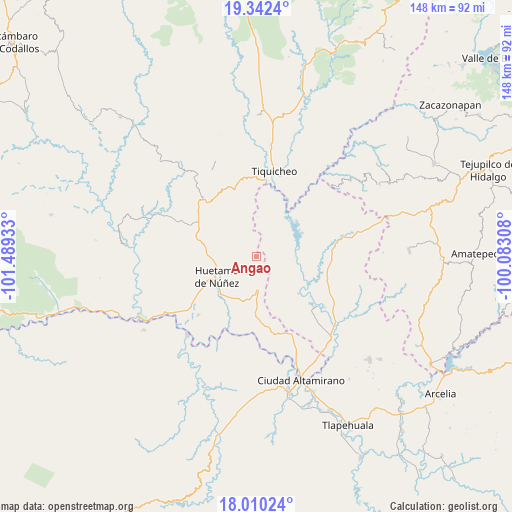
Angao GPS coordinates[2]
18° 40' 39.468" North, 100° 47' 10.32" West
| Map corner | latitude | longitude |
|---|---|---|
| Upper-left | 19.3424°, | -101.48933° |
| Center: | 18.67763°, | -100.7862° |
| Lower-right: | 18.01024°, | -100.08308° |
| Map W x H: | 148.1×148.1 km | = 92×92mi |
| max Lat: | 32.7° ⇑70.5% North |
| Angao: | 18.67763° |
| min Lat: | ⇓29.5% South 14.53588° |
| min Long | Angao | max Long |
| -117.105° | -100.7862° | -86.73105° |
| W 28.2%⇐ | ⇒71.8% E |
Elevation
Elevation of Angao is 396 m = 1299 ft, and this is 857.7 m = 2814 ft below average elevation for this country.
| Max E: |
3497 m = 11473 ft | 70.4% |
| Avg. | 1253.7 m = 4113 ft | |
| Angao | 396 m = 1299 ft | |
Min E: |
-1 m = -3 ft | 29.6% |
See also: Mexico elevation on elevation.city.
Geographical zone
Angao is located in North Torrid zone (between Equator and Tropic of Cancer). Distance of this Northern Tropic circle is 529.2 km =328.8 mi to North.| Distance of | km | miles | from Angao |
|---|---|---|---|
| North Pole | 7930.3 | 4927.7 | to North |
| Arctic Circle | 5324.4 | 3308.4 | to North |
| Tropic Cancer | 529.2 | 328.8 | to North |
| Equator | 2076.8 | 1290.5 | to South |


Nearby cities:
15 places around Angao: (largest is in red/bold)
• Arroyo Grande
10 km =6.2 mi,  88°
88°
• Balderrama
26 km =16.2 mi,  77°
77°
• Comburindio
24.1 km =15 mi,  233°
233°
• El Salitre (Sirapitiro)
23.4 km =14.5 mi,  113°
113°
• Huetamo de Núñez
12.9 km =8 mi,  245°
245°
• La Parota
10.7 km =6.6 mi,  262°
262°
• Nuevo Galeana
22.2 km =13.8 mi,  131°
131°
• Purechucho
15.1 km =9.4 mi, 225°
• San Lucas
9.7 km =6 mi,  179°
179°
• San Nicolás Arroyo Hondo
17.5 km =10.9 mi,  206°
206°
• Tamácuaro
24.7 km =15.3 mi,  145°
145°
• Tiquicheo
25.6 km =15.9 mi,  11°
11°
• Turitzio
23.8 km =14.8 mi, 225°
• Tziritzícuaro
21.6 km =13.4 mi,  200°
200°
• Zacapuato
19 km =11.8 mi, 93°
Sources, notices
• [Note1] Compared only with cities in Mexico existing in our database
• [Src1] Map data: © OpenStreetMap contributors (CC-BY-SA)
• [Src2] Other city data from geonames.org with taken over terms of usage.
• [Src3] Geographical zone / Annual Mean Temperature by Robert A. Rohde @ Wikipedia
