Santa Rosa Segundo geodata
Santa Rosa Segundo (Quintana Roo) is a populated place; located in Mexico in America/Cancun (GMT-5) time zone. With population of 1,068 people, there are 8166 cities with bigger population in this country. Compared to other cities in Mexico, 56.6% of cities are located further ↓South; 99.5% of cities are located further ←West and 89.4% of cities have higher elevation than Santa Rosa Segundo. Note1


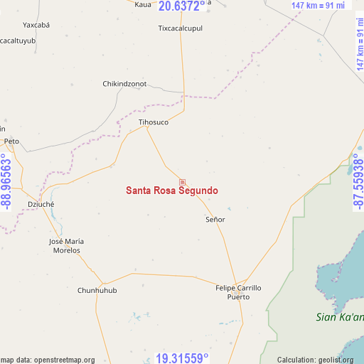
Santa Rosa Segundo GPS coordinates[2]
19° 58' 40.008" North, 88° 15' 45" West
| Map corner | latitude | longitude |
|---|---|---|
| Upper-left | 20.6372°, | -88.96563° |
| Center: | 19.97778°, | -88.2625° |
| Lower-right: | 19.31559°, | -87.55938° |
| Map W x H: | 146.9×147 km | = 91.3×91.3mi |
| max Lat: | 32.7° ⇑43.4% North |
| Santa Rosa Segundo: | 19.97778° |
| min Lat: | ⇓56.6% South 14.53588° |
| min Long | Santa Rosa Segu | max Long |
| -117.105° | -88.2625° | -86.73105° |
| W 99.5%⇐ | ⇒0.5% E |
Elevation
Elevation of Santa Rosa Segundo is 26 m = 85 ft, and this is 1227.7 m = 4028 ft below average elevation for this country.
| Max E: |
3497 m = 11473 ft | 89.4% |
| Avg. | 1253.7 m = 4113 ft | |
| Santa Rosa Segundo | 26 m = 85 ft | |
Min E: |
-1 m = -3 ft | 10.6% |
See also: Mexico elevation on elevation.city.
Geographical zone
Santa Rosa Segundo is located in North Torrid zone (between Equator and Tropic of Cancer). Distance of this Northern Tropic circle is 384.6 km =239 mi to North.| Distance of | km | miles | from Santa Rosa Segundo |
|---|---|---|---|
| North Pole | 7785.7 | 4837.8 | to North |
| Arctic Circle | 5179.9 | 3218.6 | to North |
| Tropic Cancer | 384.6 | 239 | to North |
| Equator | 2221.3 | 1380.3 | to South |


Nearby cities:
15 places around Santa Rosa Segundo: (largest is in red/bold)
• Betania
37.9 km =23.5 mi,  184°
184°
• Chun-Yah
37.8 km =23.5 mi,  68°
68°
• Filomeno Mata
19.1 km =11.9 mi,  226°
226°
• Huay Max
28.4 km =17.6 mi,  284°
284°
• La Esperanza
36 km =22.4 mi,  249°
249°
• Saban
29.6 km =18.4 mi, 282°
• Señor
19.9 km =12.4 mi,  138°
138°
• Tepich
29.4 km =18.3 mi,  1°
1°
• Tihosuco
26.9 km =16.7 mi,  334°
334°
• Tixcacal Guardia
16.1 km =10 mi,  145°
145°
• Tuzik
12.8 km =8 mi,  122°
122°
• X Cabil
29.6 km =18.4 mi,  314°
314°
• X-pichil
33.6 km =20.9 mi,  200°
200°
• Yaxley
24.2 km =15 mi,  164°
164°
• Zacalaca
36.1 km =22.4 mi,  285°
285°
Sources, notices
• [Note1] Compared only with cities in Mexico existing in our database
• [Src1] Map data: © OpenStreetMap contributors (CC-BY-SA)
• [Src2] Other city data from geonames.org with taken over terms of usage.
• [Src3] Geographical zone / Annual Mean Temperature by Robert A. Rohde @ Wikipedia
