El Desengaño geodata
El Desengaño (Campeche) is a populated place; located in Mexico in America/Merida (GMT-6) time zone. With population of 930 people, there are 9378 cities with bigger population in this country. Compared to other cities in Mexico, 80% of cities are located further ↑North; 97.2% of cities are located further ←West and 79.9% of cities have higher elevation than El Desengaño. Note1


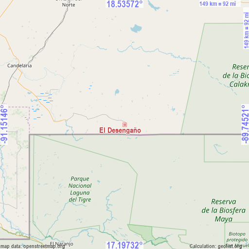
El Desengaño GPS coordinates[2]
17° 52' 4.008" North, 90° 26' 53.988" West
| Map corner | latitude | longitude |
|---|---|---|
| Upper-left | 18.53572°, | -91.15146° |
| Center: | 17.86778°, | -90.44833° |
| Lower-right: | 17.19732°, | -89.74521° |
| Map W x H: | 148.8×148.8 km | = 92.5×92.5mi |
| max Lat: | 32.7° ⇑80% North |
| El Desengaño: | 17.86778° |
| min Lat: | ⇓20% South 14.53588° |
| min Long | El Desengaño | max Long |
| -117.105° | -90.44833° | -86.73105° |
| W 97.2%⇐ | ⇒2.8% E |
Elevation
Elevation of El Desengaño is 96 m = 315 ft, and this is 1157.7 m = 3798 ft below average elevation for this country.
| Max E: |
3497 m = 11473 ft | 79.9% |
| Avg. | 1253.7 m = 4113 ft | |
| El Desengaño | 96 m = 315 ft | |
Min E: |
-1 m = -3 ft | 20.1% |
See also: Mexico elevation on elevation.city.
Geographical zone
El Desengaño is located in North Torrid zone (between Equator and Tropic of Cancer). Distance of this Northern Tropic circle is 619.2 km =384.8 mi to North.| Distance of | km | miles | from El Desengaño |
|---|---|---|---|
| North Pole | 8020.4 | 4983.6 | to North |
| Arctic Circle | 5414.5 | 3364.4 | to North |
| Tropic Cancer | 619.2 | 384.8 | to North |
| Equator | 1986.7 | 1234.5 | to South |


Nearby cities:
15 places around El Desengaño: (largest is in red/bold)
• Cuauhtémoc
64.3 km =40 mi,  266°
266°
• El Mical
64.9 km =40.3 mi, 266°
• El Pichi
60.6 km =37.7 mi,  275°
275°
• Ingeniero Emilio López Zamora
65 km =40.4 mi, 266°
• Las Golondrinas
38.7 km =24 mi, 273°
• Los Cenotes
67.6 km =42 mi,  247°
247°
• Luna
67.5 km =41.9 mi,  314°
314°
• Lázaro Cárdenas
38.9 km =24.2 mi, 278°
• Miguel Alemán
67.7 km =42.1 mi, 307°
• Miguel Hidalgo y Costilla
42.2 km =26.2 mi, 273°
• Miguel de la Madrid (El Pañuelo)
14.7 km =9.1 mi,  16°
16°
• Nueva Rosita
56.5 km =35.1 mi,  327°
327°
• Pablo García
55.7 km =34.6 mi,  294°
294°
• Pejelagarto
68.2 km =42.4 mi,  301°
301°
• Quetzalcóatl (Cuatro Poblados)
64.5 km =40.1 mi, 266°
Sources, notices
• [Note1] Compared only with cities in Mexico existing in our database
• [Src1] Map data: © OpenStreetMap contributors (CC-BY-SA)
• [Src2] Other city data from geonames.org with taken over terms of usage.
• [Src3] Geographical zone / Annual Mean Temperature by Robert A. Rohde @ Wikipedia
