Cruzchén geodata
Cruzchén (Chiapas) is a populated place; located in Mexico in America/Mexico_City (GMT-6) time zone. With population of 837 people, there are 10451 cities with bigger population in this country. Compared to other cities in Mexico, 91.3% of cities are located further ↑North; 92.1% of cities are located further ←West and 78.5% of cities have lower elevation than Cruzchén. Note1


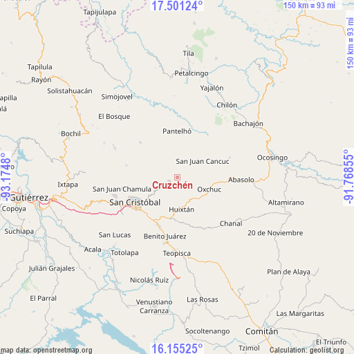
Cruzchén GPS coordinates[2]
16° 49' 45.984" North, 92° 28' 18.012" West
| Map corner | latitude | longitude |
|---|---|---|
| Upper-left | 17.50124°, | -93.1748° |
| Center: | 16.82944°, | -92.47167° |
| Lower-right: | 16.15525°, | -91.76855° |
| Map W x H: | 149.7×149.7 km | = 93×93mi |
| max Lat: | 32.7° ⇑91.3% North |
| Cruzchén: | 16.82944° |
| min Lat: | ⇓8.7% South 14.53588° |
| min Long | Cruzchén | max Long |
| -117.105° | -92.47167° | -86.73105° |
| W 92.1%⇐ | ⇒7.9% E |
Elevation
Elevation of Cruzchén is 2101 m = 6893 ft, and this is 847.3 m = 2780 ft above average elevation for this country.
| Max E: |
3497 m = 11473 ft | 21.5% |
| Cruzchén | 2101 m 6893 ft | |
| Avg. | 1253.7 m = 4113 ft | |
Min E: |
-1 m = -3 ft | 78.5% |
See also: Mexico elevation on elevation.city.
Geographical zone
Cruzchén is located in North Torrid zone (between Equator and Tropic of Cancer). Distance of this Northern Tropic circle is 734.7 km =456.5 mi to North.| Distance of | km | miles | from Cruzchén |
|---|---|---|---|
| North Pole | 8135.8 | 5055.4 | to North |
| Arctic Circle | 5529.9 | 3436.1 | to North |
| Tropic Cancer | 734.7 | 456.5 | to North |
| Equator | 1871.3 | 1162.8 | to South |


Nearby cities:
15 places around Cruzchén: (largest is in red/bold)
• Cañada Grande
5.6 km =3.5 mi,  256°
256°
• Chacoma
5.6 km =3.5 mi,  337°
337°
• El Retiro
3.6 km =2.2 mi,  156°
156°
• Jerusalén
1.3 km =0.8 mi,  15°
15°
• Kotolte
4.1 km =2.5 mi, 16°
• Kulaktik
4.9 km =3 mi,  356°
356°
• Matzam
4.5 km =2.8 mi,  187°
187°
• Ococh
1 km =0.6 mi, 338°
• Shishintonil
2.5 km =1.6 mi,  327°
327°
• Sibaniljá Pocolum
5.3 km =3.3 mi,  12°
12°
• Tenejapa
3.9 km =2.4 mi,  252°
252°
• Tz'Aquiviljok
3.1 km =1.9 mi, 23°
• Tzajalchén
1.8 km =1.1 mi,  42°
42°
• Yashanal
2.1 km =1.3 mi,  91°
91°
• Yoshib
3.2 km =2 mi,  57°
57°
Sources, notices
• [Note1] Compared only with cities in Mexico existing in our database
• [Src1] Map data: © OpenStreetMap contributors (CC-BY-SA)
• [Src2] Other city data from geonames.org with taken over terms of usage.
• [Src3] Geographical zone / Annual Mean Temperature by Robert A. Rohde @ Wikipedia
