Manchoc geodata
Manchoc (San Luis Potosí) is a populated place; located in Mexico in America/Mexico_City (GMT-6) time zone. With population of 755 people, there are 11595 cities with bigger population in this country. Compared to other cities in Mexico, 80.4% of cities are located further ↓South; 55.2% of cities are located further ←West and 73% of cities have higher elevation than Manchoc. Note1


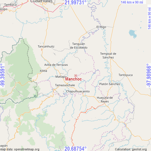
Manchoc GPS coordinates[2]
21° 20' 38.004" North, 98° 41' 34.008" West
| Map corner | latitude | longitude |
|---|---|---|
| Upper-left | 21.99731°, | -99.39591° |
| Center: | 21.34389°, | -98.69278° |
| Lower-right: | 20.68754°, | -97.98966° |
| Map W x H: | 145.6×145.6 km | = 90.5×90.5mi |
| max Lat: | 32.7° ⇑19.6% North |
| Manchoc: | 21.34389° |
| min Lat: | ⇓80.4% South 14.53588° |
| min Long | Manchoc | max Long |
| -117.105° | -98.69278° | -86.73105° |
| W 55.2%⇐ | ⇒44.8% E |
Elevation
Elevation of Manchoc is 287 m = 942 ft, and this is 966.7 m = 3172 ft below average elevation for this country.
| Max E: |
3497 m = 11473 ft | 73% |
| Avg. | 1253.7 m = 4113 ft | |
| Manchoc | 287 m = 942 ft | |
Min E: |
-1 m = -3 ft | 27% |
See also: Mexico elevation on elevation.city.
Geographical zone
Manchoc is located in North Torrid zone (between Equator and Tropic of Cancer). Distance of this Northern Tropic circle is 232.7 km =144.6 mi to North.| Distance of | km | miles | from Manchoc |
|---|---|---|---|
| North Pole | 7633.8 | 4743.4 | to North |
| Arctic Circle | 5028 | 3124.3 | to North |
| Tropic Cancer | 232.7 | 144.6 | to North |
| Equator | 2373.2 | 1474.6 | to South |


Nearby cities:
15 places around Manchoc: (largest is in red/bold)
• Chiconamel
3.8 km =2.4 mi,  314°
314°
• Chililillo
8.6 km =5.3 mi, 313°
• Cuixcuatitla
9.2 km =5.7 mi,  237°
237°
• El Huexco
6.3 km =3.9 mi,  266°
266°
• El Tepetate
8 km =5 mi,  225°
225°
• Escoatitla
1.5 km =0.9 mi, 225°
• La Cichilla
7.2 km =4.5 mi,  207°
207°
• La Soledad
6.2 km =3.9 mi,  328°
328°
• Macuilocatl
6.5 km =4 mi,  316°
316°
• Ocuiltzapoyo
4.3 km =2.7 mi, 239°
• San Martín Chalchicuautla
4.7 km =2.9 mi,  51°
51°
• Tampacán
7.4 km =4.6 mi, 330°
• Tenextitla Dos
3.3 km =2.1 mi, 332°
• Totomoxtla (La Ceiba)
8.3 km =5.2 mi,  296°
296°
• Xochicuatla
4.6 km =2.9 mi,  290°
290°
Sources, notices
• [Note1] Compared only with cities in Mexico existing in our database
• [Src1] Map data: © OpenStreetMap contributors (CC-BY-SA)
• [Src2] Other city data from geonames.org with taken over terms of usage.
• [Src3] Geographical zone / Annual Mean Temperature by Robert A. Rohde @ Wikipedia
