La Guadalupe geodata
La Guadalupe (Oaxaca) is a populated place; located in Mexico in America/Mexico_City (GMT-6) time zone. With population of 654 people, there are 13268 cities with bigger population in this country. Compared to other cities in Mexico, 93.1% of cities are located further ↑North; 62.7% of cities are located further ←West and 68.8% of cities have higher elevation than La Guadalupe. Note1


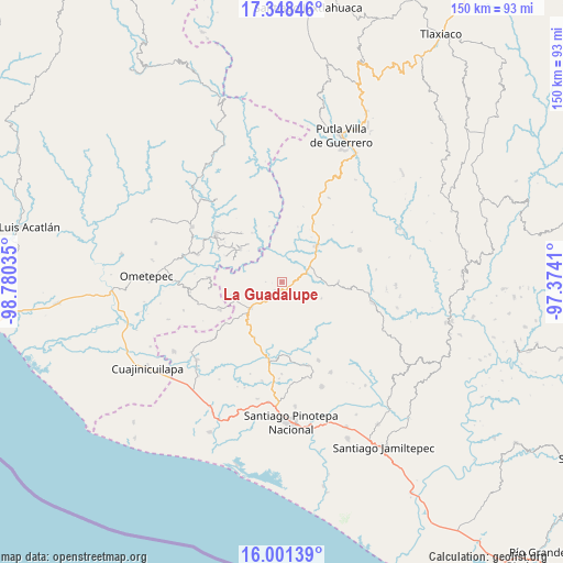
La Guadalupe GPS coordinates[2]
16° 40' 33.996" North, 98° 4' 37.992" West
| Map corner | latitude | longitude |
|---|---|---|
| Upper-left | 17.34846°, | -98.78035° |
| Center: | 16.67611°, | -98.07722° |
| Lower-right: | 16.00139°, | -97.3741° |
| Map W x H: | 149.8×149.8 km | = 93.1×93.1mi |
| max Lat: | 32.7° ⇑93.1% North |
| La Guadalupe: | 16.67611° |
| min Lat: | ⇓6.9% South 14.53588° |
| min Long | La Guadalupe | max Long |
| -117.105° | -98.07722° | -86.73105° |
| W 62.7%⇐ | ⇒37.3% E |
Elevation
Elevation of La Guadalupe is 483 m = 1585 ft, and this is 770.7 m = 2529 ft below average elevation for this country.
| Max E: |
3497 m = 11473 ft | 68.8% |
| Avg. | 1253.7 m = 4113 ft | |
| La Guadalupe | 483 m = 1585 ft | |
Min E: |
-1 m = -3 ft | 31.2% |
See also: Mexico elevation on elevation.city.
Geographical zone
La Guadalupe is located in North Torrid zone (between Equator and Tropic of Cancer). Distance of this Northern Tropic circle is 751.7 km =467.1 mi to North.| Distance of | km | miles | from La Guadalupe |
|---|---|---|---|
| North Pole | 8152.9 | 5066 | to North |
| Arctic Circle | 5547 | 3446.7 | to North |
| Tropic Cancer | 751.7 | 467.1 | to North |
| Equator | 1854.2 | 1152.1 | to South |


Nearby cities:
15 places around La Guadalupe: (largest is in red/bold)
• Arroyo Gente
14.2 km =8.8 mi,  294°
294°
• Buenavista
13.1 km =8.1 mi,  250°
250°
• Camotinchan
14 km =8.7 mi,  201°
201°
• Colonia Renacimiento
14.8 km =9.2 mi,  310°
310°
• Guadalupe Victoria
14.2 km =8.8 mi, 308°
• Pie de la Cuesta
8 km =5 mi,  220°
220°
• San Antonio Ocotlán
9.9 km =6.2 mi, 252°
• San Antonio Tepetlapa
14.8 km =9.2 mi,  175°
175°
• San Juan Cacahuatepec
10.7 km =6.6 mi,  230°
230°
• San Pedro Amuzgos
2.9 km =1.8 mi,  212°
212°
• San Vicente Piñas
12.3 km =7.6 mi,  8°
8°
• Santa María Ipalapa
6.3 km =3.9 mi,  129°
129°
• Santa María Zacatepec
13.4 km =8.3 mi,  43°
43°
• Sayultepec
10.5 km =6.5 mi, 212°
• Zocoteaca de León
9 km =5.6 mi,  118°
118°
Sources, notices
• [Note1] Compared only with cities in Mexico existing in our database
• [Src1] Map data: © OpenStreetMap contributors (CC-BY-SA)
• [Src2] Other city data from geonames.org with taken over terms of usage.
• [Src3] Geographical zone / Annual Mean Temperature by Robert A. Rohde @ Wikipedia
