Shucutón geodata
Shucutón (Chiapas) is a populated place; located in Mexico in America/Mexico_City (GMT-6) time zone. With population of 618 people, there are 13956 cities with bigger population in this country. Compared to other cities in Mexico, 91.3% of cities are located further ↑North; 90.8% of cities are located further ←West and 83.8% of cities have lower elevation than Shucutón. Note1


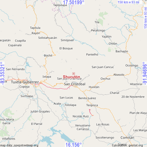
Shucutón GPS coordinates[2]
16° 49' 48.684" North, 92° 39' 0.288" West
| Map corner | latitude | longitude |
|---|---|---|
| Upper-left | 17.50199°, | -93.35321° |
| Center: | 16.83019°, | -92.65008° |
| Lower-right: | 16.156°, | -91.94696° |
| Map W x H: | 149.7×149.7 km | = 93×93mi |
| max Lat: | 32.7° ⇑91.3% North |
| Shucutón: | 16.83019° |
| min Lat: | ⇓8.7% South 14.53588° |
| min Long | Shucutón | max Long |
| -117.105° | -92.65008° | -86.73105° |
| W 90.8%⇐ | ⇒9.2% E |
Elevation
Elevation of Shucutón is 2238 m = 7343 ft, and this is 984.3 m = 3229 ft above average elevation for this country.
| Max E: |
3497 m = 11473 ft | 16.2% |
| Shucutón | 2238 m 7343 ft | |
| Avg. | 1253.7 m = 4113 ft | |
Min E: |
-1 m = -3 ft | 83.8% |
See also: Mexico elevation on elevation.city.
Geographical zone
Shucutón is located in North Torrid zone (between Equator and Tropic of Cancer). Distance of this Northern Tropic circle is 734.6 km =456.5 mi to North.| Distance of | km | miles | from Shucutón |
|---|---|---|---|
| North Pole | 8135.7 | 5055.3 | to North |
| Arctic Circle | 5529.8 | 3436.1 | to North |
| Tropic Cancer | 734.6 | 456.5 | to North |
| Equator | 1871.3 | 1162.8 | to South |


Nearby cities:
15 places around Shucutón: (largest is in red/bold)
• Chicviltenal
1.6 km =1 mi,  249°
249°
• Chiotic
3.3 km =2.1 mi,  54°
54°
• Cruz Quemada
4.7 km =2.9 mi,  262°
262°
• Icalumtic
3.9 km =2.4 mi,  346°
346°
• Joltzemén
4 km =2.5 mi,  130°
130°
• Laguna Petej
4.9 km =3 mi,  202°
202°
• Majomut
2.3 km =1.4 mi,  334°
334°
• Mitontic
4.7 km =2.9 mi,  29°
29°
• Nichén
4.8 km =3 mi,  228°
228°
• Pilalchén
3.9 km =2.4 mi,  287°
287°
• Saclamantón
4.9 km =3 mi,  160°
160°
• Tzajalchén
0.9 km =0.6 mi, 28°
• Yitic
3.9 km =2.4 mi,  39°
39°
• Yolonan
3.5 km =2.2 mi,  90°
90°
• Yutniotic
1 km =0.6 mi,  153°
153°
Sources, notices
• [Note1] Compared only with cities in Mexico existing in our database
• [Src1] Map data: © OpenStreetMap contributors (CC-BY-SA)
• [Src2] Other city data from geonames.org with taken over terms of usage.
• [Src3] Geographical zone / Annual Mean Temperature by Robert A. Rohde @ Wikipedia
