El Tejocote geodata
El Tejocote (Guerrero) is a populated place; located in Mexico in America/Mexico_City (GMT-6) time zone. With population of 519 people, there are 16226 cities with bigger population in this country. Compared to other cities in Mexico, 85.6% of cities are located further ↑North; 53.5% of cities are located further ←West and 84.2% of cities have lower elevation than El Tejocote. Note1


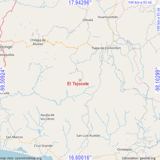
El Tejocote GPS coordinates[2]
17° 16' 22.008" North, 98° 48' 21.996" West
| Map corner | latitude | longitude |
|---|---|---|
| Upper-left | 17.94296°, | -99.50924° |
| Center: | 17.27278°, | -98.80611° |
| Lower-right: | 16.60016°, | -98.10299° |
| Map W x H: | 149.3×149.3 km | = 92.8×92.8mi |
| max Lat: | 32.7° ⇑85.6% North |
| El Tejocote: | 17.27278° |
| min Lat: | ⇓14.4% South 14.53588° |
| min Long | El Tejocote | max Long |
| -117.105° | -98.80611° | -86.73105° |
| W 53.5%⇐ | ⇒46.5% E |
Elevation
Elevation of El Tejocote is 2246 m = 7369 ft, and this is 992.3 m = 3256 ft above average elevation for this country.
| Max E: |
3497 m = 11473 ft | 15.8% |
| El Tejocote | 2246 m 7369 ft | |
| Avg. | 1253.7 m = 4113 ft | |
Min E: |
-1 m = -3 ft | 84.2% |
See also: Mexico elevation on elevation.city.
Geographical zone
El Tejocote is located in North Torrid zone (between Equator and Tropic of Cancer). Distance of this Northern Tropic circle is 685.4 km =425.9 mi to North.| Distance of | km | miles | from El Tejocote |
|---|---|---|---|
| North Pole | 8086.5 | 5024.7 | to North |
| Arctic Circle | 5480.6 | 3405.5 | to North |
| Tropic Cancer | 685.4 | 425.9 | to North |
| Equator | 1920.6 | 1193.4 | to South |


Nearby cities:
15 places around El Tejocote: (largest is in red/bold)
• Acatepec
12.4 km =7.7 mi,  297°
297°
• Apetzuca
3.7 km =2.3 mi,  310°
310°
• Barranca Pobre
8.5 km =5.3 mi,  252°
252°
• El Capulín
2.3 km =1.4 mi,  20°
20°
• El Chirimoyo
11.8 km =7.3 mi, 311°
• El Mirador
9.1 km =5.7 mi,  234°
234°
• Escalerilla Lagunas
12.5 km =7.8 mi,  339°
339°
• Loma Tuza
11.1 km =6.9 mi,  323°
323°
• Tamaloya
12.1 km =7.5 mi,  350°
350°
• Tenamazapa
6.6 km =4.1 mi,  197°
197°
• Tlacoapa
6.2 km =3.9 mi,  99°
99°
• Totomixtlahuaca
12.7 km =7.9 mi,  178°
178°
• Yerba Santa
11.5 km =7.1 mi, 225°
• Zilacayota
3.2 km =2 mi,  358°
358°
• Zontecomapa
6.7 km =4.2 mi, 321°
Sources, notices
• [Note1] Compared only with cities in Mexico existing in our database
• [Src1] Map data: © OpenStreetMap contributors (CC-BY-SA)
• [Src2] Other city data from geonames.org with taken over terms of usage.
• [Src3] Geographical zone / Annual Mean Temperature by Robert A. Rohde @ Wikipedia
