Camémbaro geodata
Camémbaro (Michoacán) is a populated place; located in Mexico in America/Mexico_City (GMT-6) time zone. With population of 504 people, there are 16693 cities with bigger population in this country. Compared to other cities in Mexico, 58.3% of cities are located further ↑North; 78.7% of cities are located further →East and 87.4% of cities have lower elevation than Camémbaro. Note1


Camémbaro GPS coordinates[2]
19° 19' 18.012" North, 101° 39' 11.016" West
| Map corner | latitude | longitude |
|---|---|---|
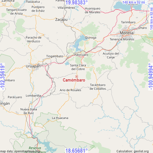
| Upper-left | 19.98383°, | -102.35619° |
| Center: | 19.32167°, | -101.65306° |
| Lower-right: | 18.65681°, | -100.94994° |
| Map W x H: | 147.6×147.6 km | = 91.7×91.7mi |
| max Lat: | 32.7° ⇑58.3% North |
| Camémbaro: | 19.32167° |
| min Lat: | ⇓41.7% South 14.53588° |
| min Long | Camémbaro | max Long |
| -117.105° | -101.65306° | -86.73105° |
| W 21.3%⇐ | ⇒78.7% E |
Elevation
Elevation of Camémbaro is 2321 m = 7615 ft, and this is 1067.3 m = 3502 ft above average elevation for this country.
| Max E: |
3497 m = 11473 ft | 12.6% |
| Camémbaro | 2321 m 7615 ft | |
| Avg. | 1253.7 m = 4113 ft | |
Min E: |
-1 m = -3 ft | 87.4% |
See also: Mexico elevation on elevation.city.
Geographical zone
Camémbaro is located in North Torrid zone (between Equator and Tropic of Cancer). Distance of this Northern Tropic circle is 457.6 km =284.3 mi to North.| Distance of | km | miles | from Camémbaro |
|---|---|---|---|
| North Pole | 7858.7 | 4883.2 | to North |
| Arctic Circle | 5252.8 | 3263.9 | to North |
| Tropic Cancer | 457.6 | 284.3 | to North |
| Equator | 2148.4 | 1335 | to South |


Nearby cities:
15 places around Camémbaro: (largest is in red/bold)
• Ario de Rosales
13.8 km =8.6 mi,  204°
204°
• Chapa
6.6 km =4.1 mi,  348°
348°
• Cuitzitán
4.4 km =2.7 mi,  4°
4°
• El Tepamal
9.8 km =6.1 mi,  156°
156°
• El Tepetate
9.4 km =5.8 mi,  52°
52°
• Istaro
10.6 km =6.6 mi,  273°
273°
• Opopeo
11.2 km =7 mi,  26°
26°
• Pablo Cuin
11.2 km =7 mi,  184°
184°
• Parahuén
5.3 km =3.3 mi,  309°
309°
• San Gregorio
15 km =9.3 mi, 53°
• San José Grande
14.6 km =9.1 mi,  138°
138°
• San José de Chuén
12.4 km =7.7 mi,  245°
245°
• Santa Clara del Cobre
9.5 km =5.9 mi,  8°
8°
• Turirán
6.7 km =4.2 mi,  56°
56°
• Zatzio (Tzatzio)
12.3 km =7.6 mi,  154°
154°
Sources, notices
• [Note1] Compared only with cities in Mexico existing in our database
• [Src1] Map data: © OpenStreetMap contributors (CC-BY-SA)
• [Src2] Other city data from geonames.org with taken over terms of usage.
• [Src3] Geographical zone / Annual Mean Temperature by Robert A. Rohde @ Wikipedia
